Near Fisher in Hardy County, West Virginia — The American South (Appalachia)
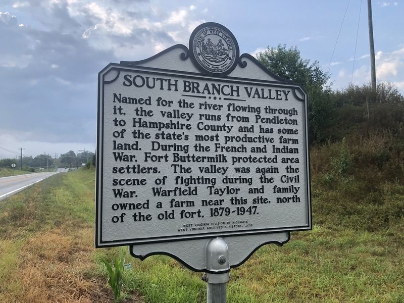
South Branch Valley
Erected 2016 by West Virginia Division of Highways; West Virginia Archives & History.
Topics and series. This historical marker is listed in these topic lists: Forts and Castles • Natural Resources • War, French and Indian • War, US Civil. In addition, it is included in the West Virginia Archives and History series list.
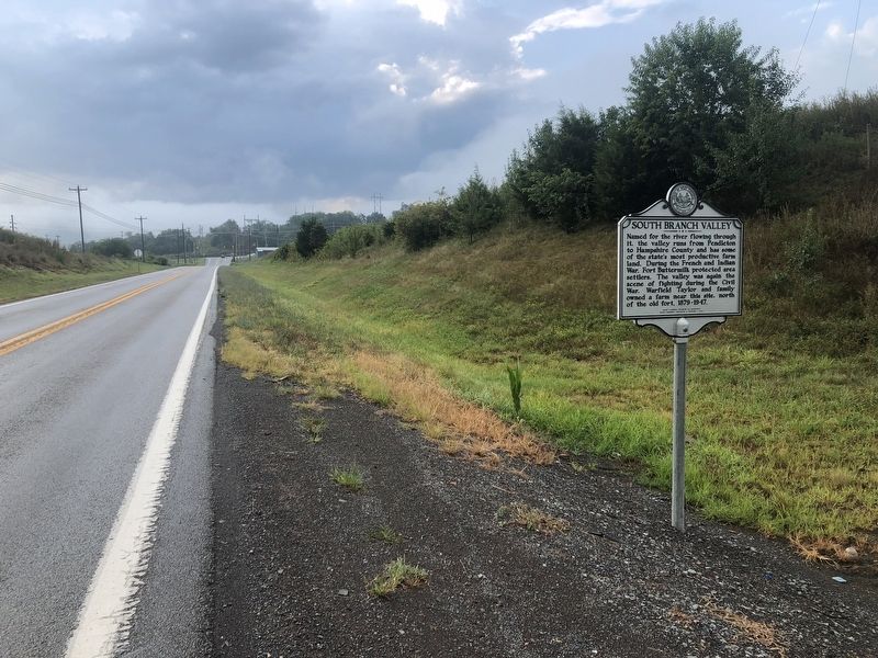
Location. 39° 2.877′ N, 78° 59.075′ W. Marker is near Fisher, West Virginia, in Hardy County. Marker is on Fisher Road (County Road 13) 0.3 miles west of U.S. 220, on the left when traveling west. Touch for map. Marker is in this post office area: Fisher WV 26818, United States of America. Touch for directions.
Other nearby markers. At least 8 other markers are within 2 miles of this marker, measured as the crow flies. Maslin House (approx. 1.2 miles away); Presbyterian Church (approx. 1.2 miles away); Moorefield Presbyterian Church (approx. 1.2 miles away); Moorefield (approx. 1.3 miles away); McMechen House (approx. 1.3 miles away); S. A. McMechen House (approx. 1.3 miles away); Hardy County's First Court House (approx. 1.3 miles away); The Parsonage (approx. 1.4 miles away).
Credits. This page was last revised on July 31, 2021. It was originally submitted on July 31, 2021, by Devry Becker Jones of Washington, District of Columbia. This page has been viewed 269 times since then and 26 times this year. Photos: 1, 2. submitted on July 31, 2021, by Devry Becker Jones of Washington, District of Columbia.

