South Nashville in Davidson County, Tennessee — The American South (East South Central)
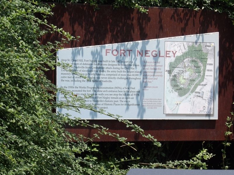
Fort Negley
In the 1930s the Works Progress Administration (WPA), a New Deal program, recreated the fort. The stone arch entrance here in the plaza and the decaying dry-stack limestone walls you see atop the hill are all WPA construction. Today, the ruins of Fort Negley remain as an open-air museum and testament to Nashville's historic past. The site is recognized in the National Register of Historic Places for its significance as both a Civil War fort and a WPA project.
"A house divided against itself cannot stand. I believe this government cannot endure permanently half-slave and half-free." — Abraham Lincoln, President
Erected 2004 by Metropolitan Government of Nashville and Davidson County Parks & Recreation.
Topics and series. This historical marker is listed in these topic lists: African Americans • Forts and Castles • War, US Civil. In addition, it is included in the Works Progress Administration (WPA) projects series list. A significant historical year for this entry is 1862.
Location. 36° 8.604′ N, 86° 46.525′ W. Marker is in Nashville, Tennessee, in Davidson County. It is in South Nashville. Marker can be reached from Fort Negley Boulevard near Chestnut Street, on the right when traveling north. Marker is on wall behind the entrance arch to Fort Negley. Touch for map. Marker is at or near this postal address: 1100 Fort Negley Boulevard, Nashville TN 37203, United States of America. Touch for directions.
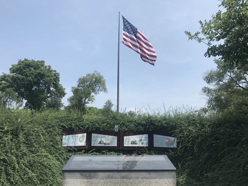
Other nearby markers. At least 8 other markers are within walking distance of this marker. The Road to War (here, next to this marker); The Civil War (here, next to this marker); War in the West (here, next to this marker); War in the West: Battles and Campaigns (within shouting distance of this marker); Fort Negley Site (within shouting distance of this marker); a different marker also named Fort Negley (within shouting distance of this marker); Nashville Surrendered (about 300 feet away, measured in a direct line); Peach Orchard Hill (about 600 feet away). Touch for a list and map of all markers in Nashville.
Credits. This page was last revised on February 7, 2023. It was originally submitted on July 31, 2021, by Duane and Tracy Marsteller of Murfreesboro, Tennessee. This page has been viewed 116 times since then and 14 times this year. Photos: 1, 2. submitted on July 31, 2021, by Duane and Tracy Marsteller of Murfreesboro, Tennessee.

