Benton in Bossier Parish, Louisiana — The American South (West South Central)
Confederate Monument
Historic Site
| — | Bossier | — |
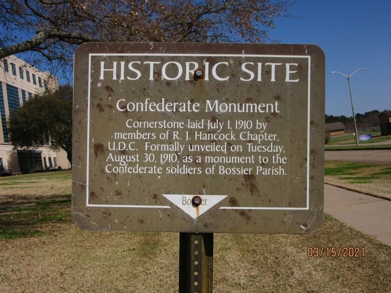
Photographed by Jason Armstrong, March 15, 2021
1. Confederate Monument Marker
Topics. This historical marker and monument is listed in this topic list: War, US Civil. A significant historical year for this entry is 1910.
Location. 32° 40.77′ N, 93° 44.648′ W. Marker is in Benton, Louisiana, in Bossier Parish. It is on Burt Boulevard east of State Route 3, on the right when traveling west. Touch for map. Marker is at or near this postal address: 211 Burt Blvd, Benton LA 71006, United States of America. Touch for directions.

Regionally, this marker and monument is in North Louisiana. It is also in the American South, specifically in the Deep South, and in the Piney Woods. Globally, it is in North America, a Gulf of Mexico state, the Western Hemisphere, the Western World, and the Anglosphere. Historically, it finds itself in what was once the territory of the Mississippian Culture, the Louisiana Purchase, one of the Confederate States of America, and the Antebellum South.
Other nearby markers. At least 8 other
this page online
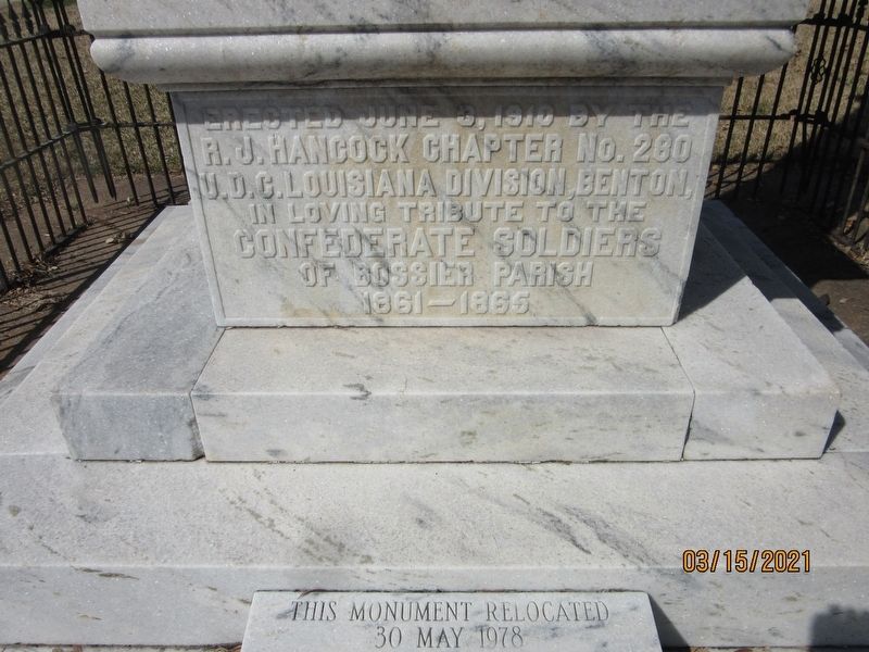
Photographed by Jason Armstrong, March 15, 2021
2. Confederate Monument (South)
Erected June 3, 1910 by the R.J. Hancock Chapter No. 280 U.D.C. Louisiana Division, Benton, In loving tribute to the Confederate Soldiers of Bossier Parish 1861-1865
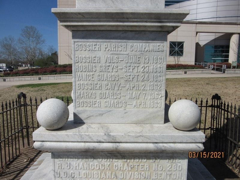
Photographed by Jason Armstrong, March 15, 2021
3. Confederate Monument (South)
Bossier Parish Companies
Bossier Vols. - June 13, 1861
Robins Greys - Sept. 23, 1861
Vanice Guards - Sept. 24, 1861
Bossier Cavy. - Apr. 2, 1862
Marks Guards - May 7, 1862
Bossier Guards - Apr. 1863
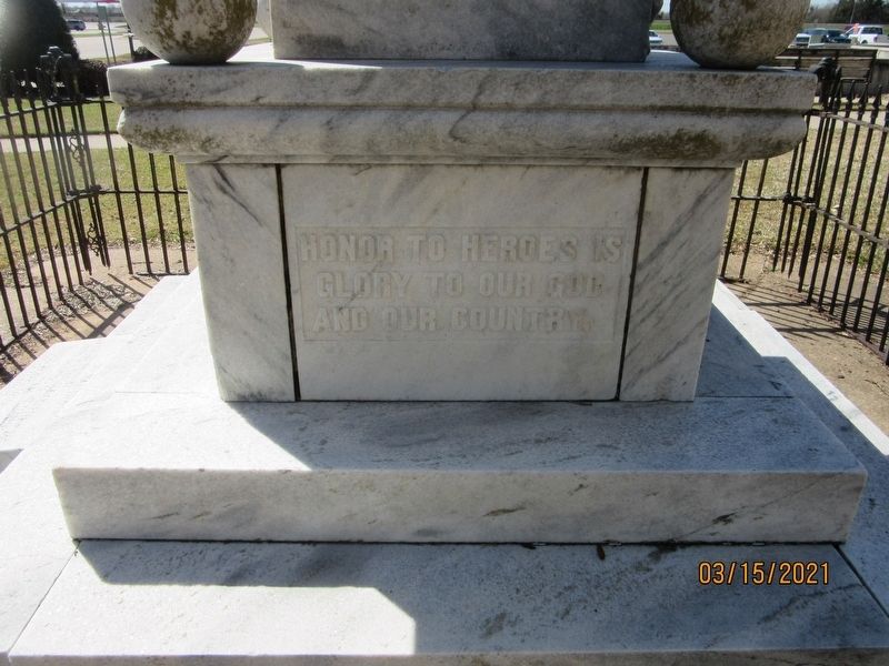
Photographed by Jason Armstrong, March 15, 2021
4. Confederate Monument (East)
Honor to Heroes is Glory to our God and Our Country
Photographed by Jason Armstrong, March 15, 2021
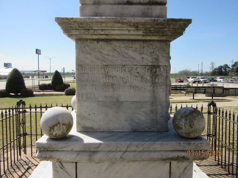
5. Confederate Monument (East)
Silently this stone Pro Claims the Deathless Fame of those who fought and fell.
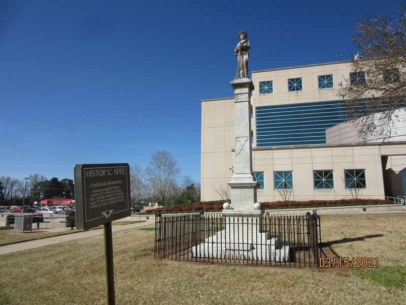
Photographed by Jason Armstrong, March 15, 2021
6. Confederate Monument
Credits. This page was last revised on August 2, 2021. It was originally submitted on August 1, 2021, by Jason Armstrong of Talihina, Oklahoma. This page has been viewed 803 times since then and 49 times this year. Photos: 1, 2, 3, 4, 5, 6. submitted on August 1, 2021, by Jason Armstrong of Talihina, Oklahoma. • Mark Hilton was the editor who published this page.
