Belhaven in Jackson in Hinds County, Mississippi — The American South (East South Central)
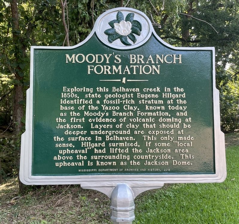
Moody's Branch Formation
Erected 2018 by Mississippi Department of Archives and History.
Topics and series. This historical marker is listed in this topic list: Natural Features. In addition, it is included in the Mississippi State Historical Marker Program series list.
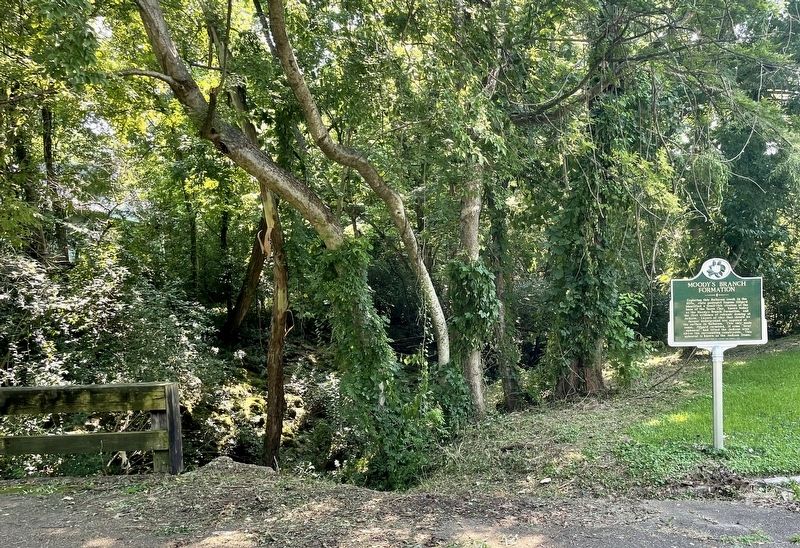
Location. 32° 18.873′ N, 90° 10.209′ W. Marker is in Jackson, Mississippi, in Hinds County. It is in Belhaven. Marker is at the intersection of Monroe Street and Manship Street, on the right when traveling south on Monroe Street. Touch for map. Marker is at or near this postal address: 1206 Monroe St, Jackson MS 39202, United States of America. Touch for directions.
Other nearby markers. At least 8 other markers are within walking distance of this marker. Charge of the 2nd Michigan (approx. 0.2 miles away); Shady Nook (approx. 0.2 miles away); Belhaven Historic District (approx. 0.2 miles away); Eudora Welty House (approx. 0.2 miles away); a different marker also named Eudora Welty House (approx. 0.2 miles away); Eudora Welty (approx. 0.2 miles away); The Jackson Volcano (approx. 0.2 miles away); Belhaven University (approx. 0.2 miles away). Touch for a list and map of all markers in Jackson.
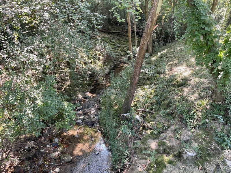
Regarding Moody's Branch Formation. The name Moodys Branch was proposed for the basal fossiliferous sands of the Jackson Group. The type locality of the Moodys Branch Formation is along a section of Moodys Branch, a small tributary of the Pearl River, just south of the intersection of Poplar Boulevard and Peachtree Street in Jackson, Mississippi. Moodys Branch has since been straightened, and the type locality partially filled in.
Source: Mollusca Of The Moodys Branch Formation Mississippi David T. Dockey III, 1977.
Credits. This page was last revised on February 16, 2023. It was originally submitted on August 1, 2021, by Mark Hilton of Montgomery, Alabama. This page has been viewed 461 times since then and 52 times this year. Photos: 1, 2, 3. submitted on August 1, 2021, by Mark Hilton of Montgomery, Alabama.


