Near Elkins in Randolph County, West Virginia — The American South (Appalachia)
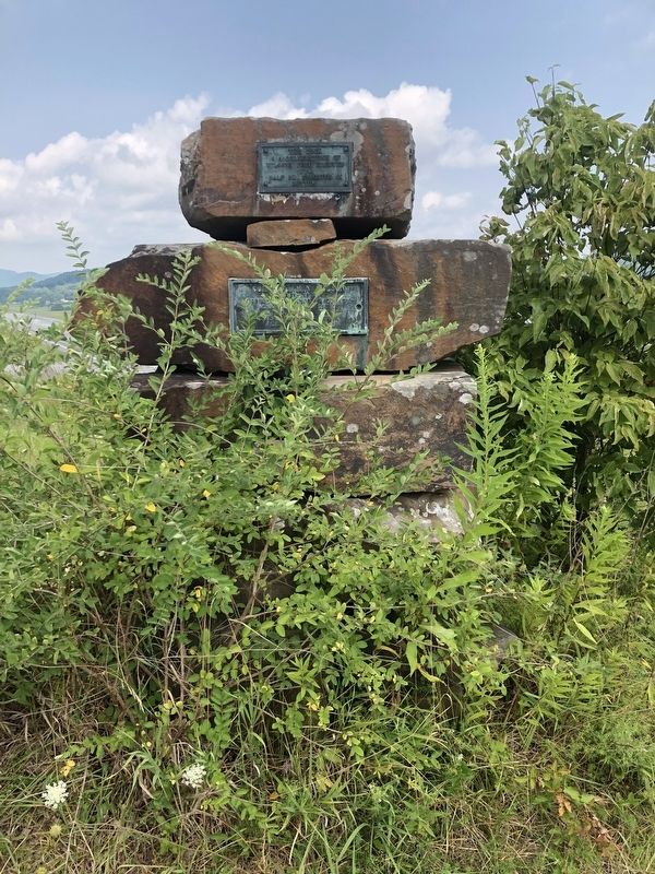
Cornerstone of Wilson's Fort
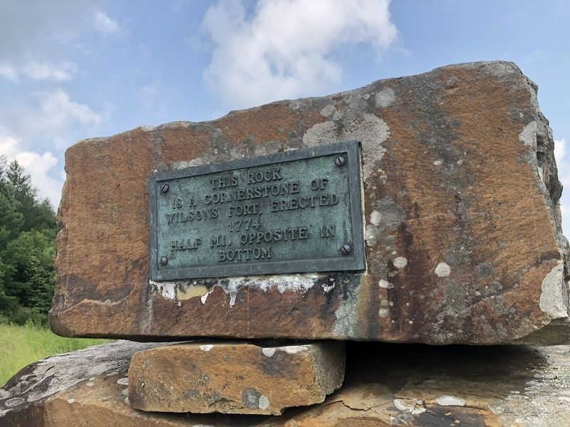
Topics. This historical marker is listed in these topic lists: Colonial Era • Forts and Castles. A significant historical year for this entry is 1774.
Location. 38° 53.054′ N, 79° 50.974′ W. Marker is near Elkins, West Virginia, in Randolph County. It is on Country Club Road (County Road 219/11) 0.1 miles south of Aeronica Court, on the right when traveling south. Touch for map. Marker is at or near this postal address: 337 Country Club Rd, Elkins WV 26241, United States of America. Touch for directions.

Regionally, this marker is in West Virginia’s Potomac Highlands. It is also in the American South, specifically in the Upper South, in Appalachia, and specifically in Southern Appalachia. Globally, it is in North America, the Western Hemisphere, the Western World, and the Anglosphere. Historically, it finds itself in what was once the territory of the Mississippian Culture.
Other nearby markers. At least 8 other markers are within 3 miles of this marker, measured as the crow flies: Col. Benjamin Wilson (here, next to
this page online
Another marker is no longer nearby. Wilson's Fort (was within shouting distance of this marker but has been confirmed missing).
Additional keywords. Lord Dunmore's War
Credits. This page was last revised on August 1, 2021. It was originally submitted on August 1, 2021, by Devry Becker Jones of Washington, District of Columbia. This page has been viewed 640 times since then and 42 times this year. Photos: 1, 2. submitted on August 1, 2021, by Devry Becker Jones of Washington, District of Columbia.
