Hyannis in Grant County, Nebraska — The American Midwest (Upper Plains)
Nebraska Sand Hills
National Natural Landmark
Photographed by Cosmos Mariner, August 2, 2021
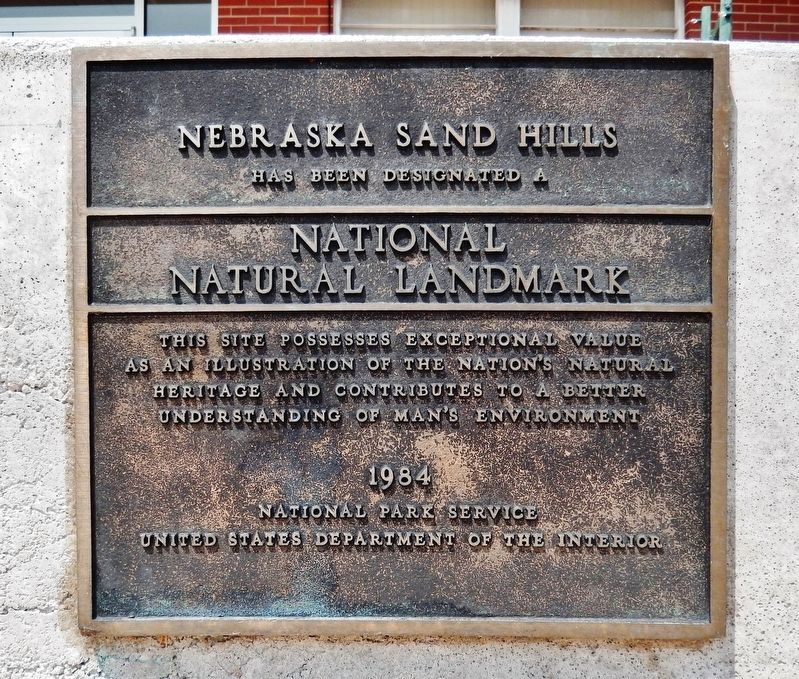
1. Nebraska Sand Hills Marker
has been designated a
National
Natural Landmark
This site possesses exceptional value
as an illustration of the Nation's natural
heritage and contributes to a better
understanding of Man’s environment
1984
National Park Service
United States Department of the Interior
Topics and series. This historical marker is listed in these topic lists: Landmarks • Natural Features. In addition, it is included in the National Natural Landmarks series list. A significant historical year for this entry is 1984.
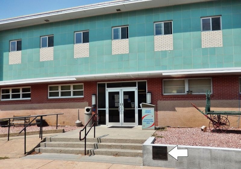
Location. 42° 0.006′ N, 101° 45.639′ W. Marker is in Hyannis, Nebraska, in Grant County. It is on Harrison Street just west of Grant Avenue, on the right when traveling west. Marker is mounted on the knee-high retaining wall directly in front of the Grant County Courthouse. Touch for map. Marker is at or near this postal address: 105 Harrison Street, Hyannis NE 69350, United States of America. Touch for directions.

Regionally, this marker is in the Sand Hills. It is also in the American Midwest, in the Corn Belt, on the prairies, on the Great Plains, and specifically on the High Plains. Globally, it is in North
this page online
Also see . . . Sandhills. Wikipedia entry:
The Sandhills, often written Sand Hills, is a region of mixed-grass prairie on grass-stabilized sand dunes in north-central Nebraska, covering just over one quarter of the state. The Sandhills sit atop the massive Ogallala Aquifer; thus both temporary and permanent shallow lakes are common in low-lying valleys between the grass-stabilized dunes prevalent in the Sandhills. (Submitted on August 3, 2021, by Cosmos Mariner of Cape Canaveral, Florida.)
Photographed by Cosmos Mariner, August 2, 2021
2. Nebraska Sand Hills Marker
Photographed by Cosmos Mariner, August 2, 2021
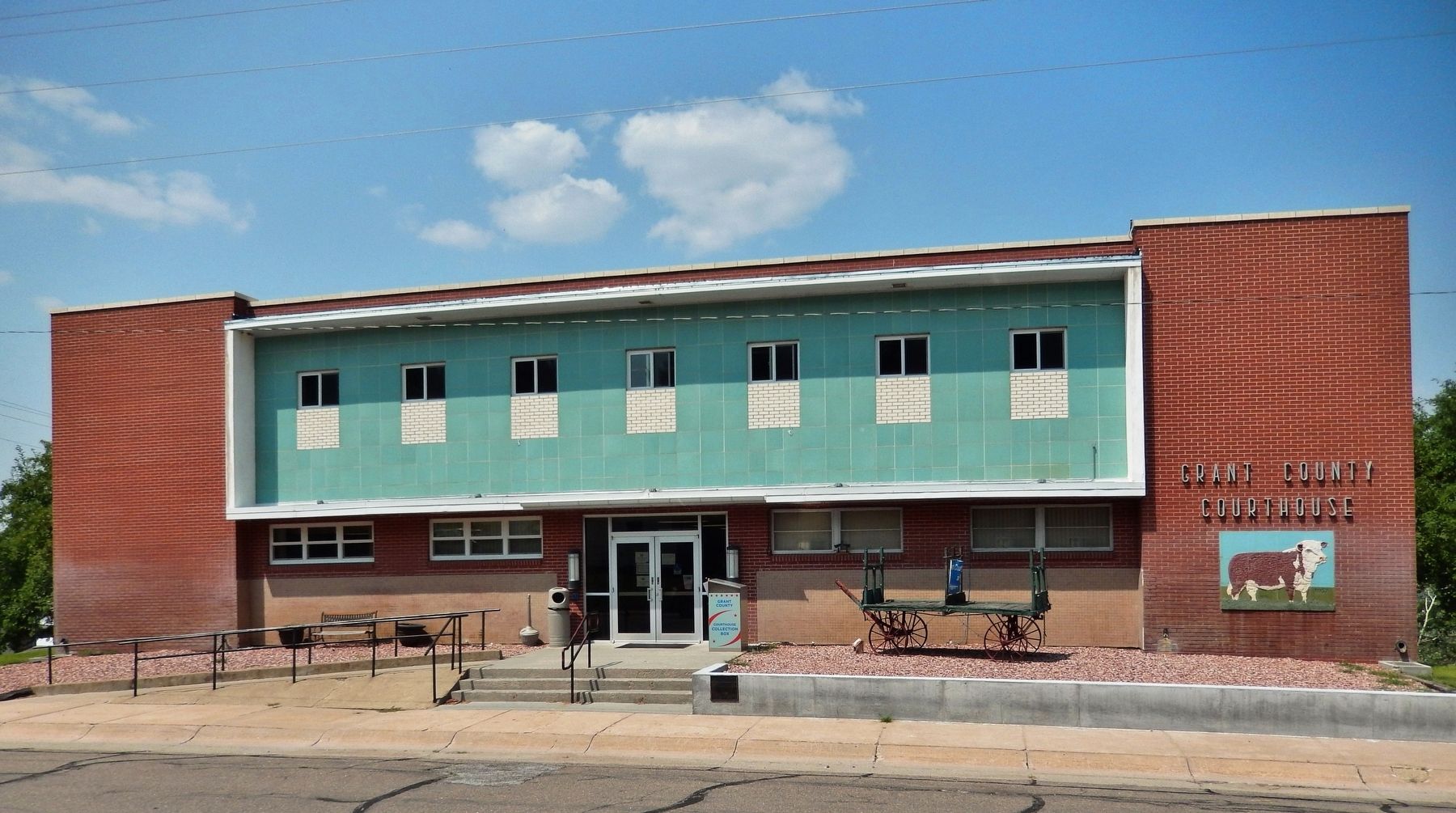
3. Grant County Courthouse (south elevation)
Credits. This page was last revised on August 21, 2024. It was originally submitted on August 1, 2021, by Cosmos Mariner of Cape Canaveral, Florida. This page has been viewed 1,861 times since then and 311 times this year. Photos: 1, 2, 3. submitted on August 3, 2021, by Cosmos Mariner of Cape Canaveral, Florida.
