Near Raymond in Hinds County, Mississippi — The American South (East South Central)
Battle Plans
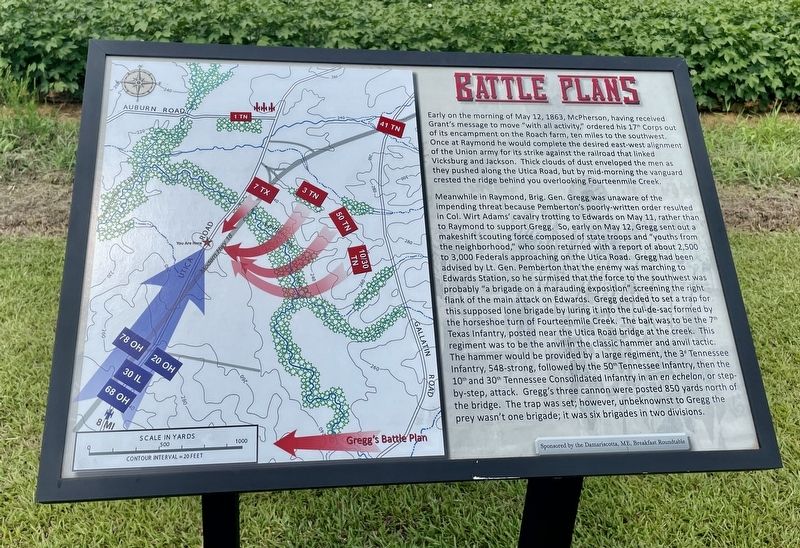
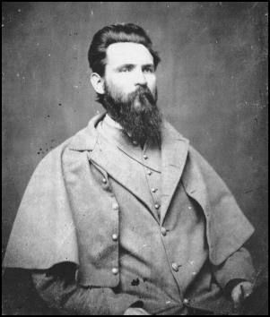
Meanwhile in Raymond, Brig. Gen. Gregg was unaware of the impending threat because Pemberton's poorly-written order resulted in Col. Wirt Adams' cavalry trotting to Edwards on May 11, rather than to Raymond to support Gregg. So, early on May 12, Gregg sent out a makeshift scouting force composed of state troops and “youths from the neighborhood," who soon returned with a report of about 2,500 to 3,000 Federals approaching on the Utica Road. Gregg had been advised by Lt. Gen. Pemberton that the enemy was marching to Edwards Station, so he surmised that the force to the southwest was probably “a brigade on a marauding exposition" screening the right flank of the main attack on Edwards. Gregg decided to set a trap for this supposed lone brigade by luring it into the cul-de-sac formed by the horseshoe turn of Fourteenmile Creek. The bait was to be the 7th Texas Infantry, posted near the Utica Road bridge at the creek. This regiment was to be the anvil in the classic hammer and anvil tactic. The hammer would be provided by a large regiment, the 3d Tennessee Infantry, 548-strong, followed by the 50th Tennessee Infantry, then the 10th and 30th Tennessee Consolidated Infantry in an en echelon, or step- by-step, attack. Gregg's three cannon were posted 850 yards north of the bridge. The trap was set; however, unbeknownst to Gregg the prey wasn't one brigade; it was six brigades in two divisions.
Erected 2016 by the Friends of Raymond Battlefield.
Topics. This historical marker is listed in this topic list: War, US Civil. A significant historical date for this entry is May 12, 1863.
Location. 32° 14.316′ N, 90° 26.864′ W. Marker is near Raymond, Mississippi, in Hinds County. Marker is on Mississippi Route 18, 1.2 miles south of Old Port Gibson Road, on the right when traveling south. Touch for map. Marker is in this post office area: Raymond MS 39154, United States of America. Touch for directions.
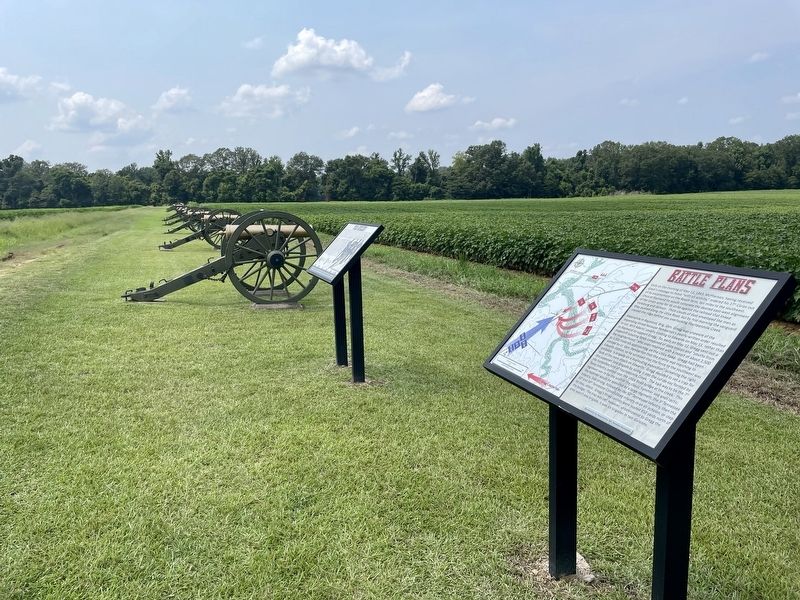
Other nearby markers. At least 8 other markers are within walking distance of this marker. Field Artillery (here, next to this marker); U.S. Battery D, 1st Illinois Light Artillery (within shouting distance of this marker); U.S. Second Brigade; (within shouting distance of this marker); U.S. 11th Battery, Ohio Light Artillery (within shouting distance of this marker); U.S. Seventh Division; (about 300 feet away, measured in a direct line); U.S. 8th Battery, Michigan Light Artillery (about 400 feet away); U.S. First Brigade; (about 500 feet away); U.S. 3d Battery, Ohio Light Artillery (about 600 feet away). Touch for a list and map of all markers in Raymond.
Also see . . . Official website of the Friends of Raymond with detailed information on the Battle of Raymond. (Submitted on August 2, 2021, by Mark Hilton of Montgomery, Alabama.)
Credits. This page was last revised on August 2, 2021. It was originally submitted on August 2, 2021, by Mark Hilton of Montgomery, Alabama. This page has been viewed 235 times since then and 16 times this year. Photos: 1, 2, 3. submitted on August 2, 2021, by Mark Hilton of Montgomery, Alabama.


