Raymond in Hinds County, Mississippi — The American South (East South Central)
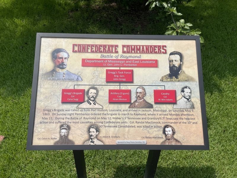
Confederate Commanders
Battle of Raymond
Erected 2016 by the Friends of Raymond Battlefield.
Topics. This historical marker is listed in this topic list: War, US Civil. A significant historical date for this entry is May 9, 1863.
Location. 32° 15.676′ N, 90° 25.346′ W. Marker is in Raymond, Mississippi, in Hinds County. Marker is at the intersection of Court Street and North Oak Street, on the right when traveling west on Court Street. Touch for map. Marker is at or near this postal address: Court Street, Raymond MS 39154, United States of America. Touch for directions.
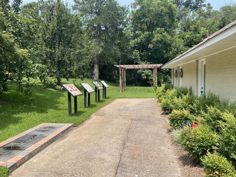
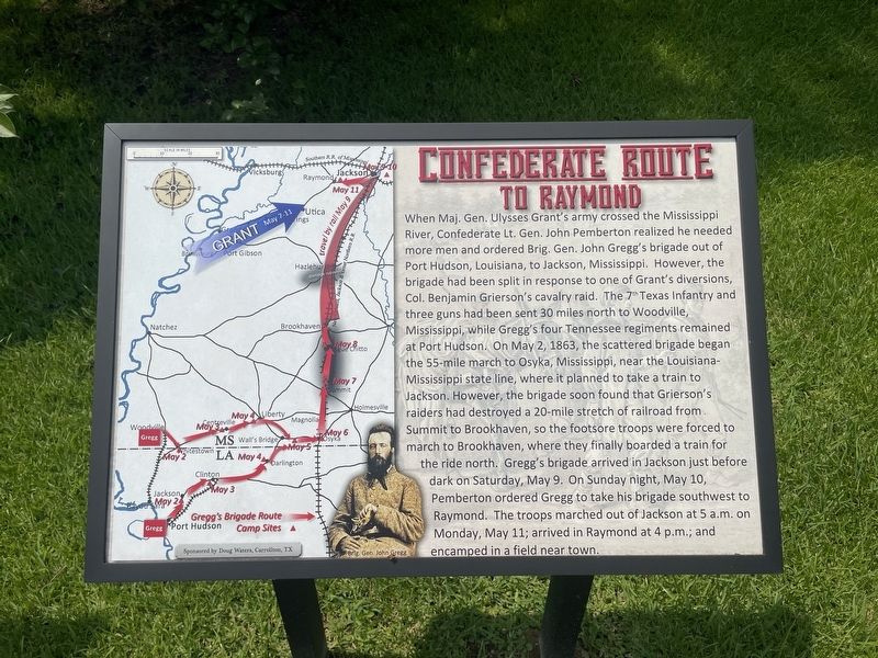
Other nearby markers. At least 8 other markers are within walking distance of this marker. Confederate Route to Raymond (here, next to this marker); Union Route to Raymond (here, next to this marker); Hinds County Confederate Memorial (about 500 feet away, measured in a direct line); St. Mark's Episcopal Church (about 500 feet away); Raymond Courthouse (about 500 feet away); Aftermath of Battle (about 600 feet away); The McCoy Brothers (about 600 feet away); Waverly (about 600 feet away). Touch for a list and map of all markers in Raymond.
More about this marker. This part of the last sentence (30t Tennessee Consolidated) should read "30th Tennessee Consolidated".
Credits. This page was last revised on August 2, 2021. It was originally submitted on August 2, 2021, by Mark Hilton of Montgomery, Alabama. This page has been viewed 143 times since then and 15 times this year. Photos: 1, 2, 3. submitted on August 2, 2021, by Mark Hilton of Montgomery, Alabama.


