
Near Raymond in Hinds County, Mississippi — The American South (East South Central)
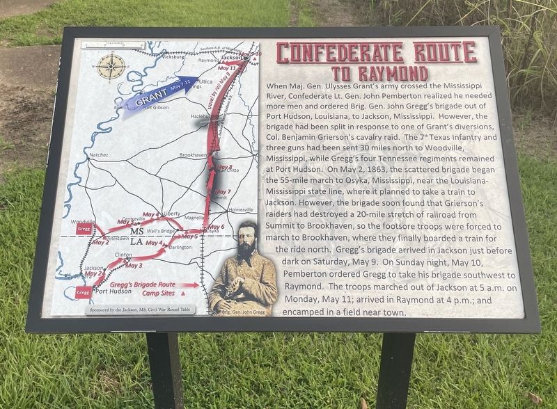
Confederate Route to Raymond
Photographed by Mark Hilton, July 30, 2021
1. Confederate Route to Raymond Marker
Same as marker located within town of Raymond.
this page online
Erected 2016 by the Friends of Raymond Battlefield.
Topics. This historical marker is listed in this topic list: War, US Civil. A significant historical date for this entry is May 2, 1863.
Location. 32° 14.628′ N, 90° 26.607′ W. Marker is near Raymond, Mississippi, in Hinds County. It can be reached from Port Gibson Street 0.3 miles south of Old Port Gibson Road, on the right. Touch for map. Marker is in this post office area: Raymond MS 39154, United States of America. Touch for directions.

Regionally, this marker is in Natchez Trace Corridor and in Greater Jackson. It is also in the American South and specifically in the Deep South. Globally, it is in North America, a Gulf of Mexico state, the Western Hemisphere, the Western World, and the Anglosphere. Historically, it finds itself in what was once the territory of the Mississippian Culture, one of the Confederate States of America, and the Antebellum South.
Other nearby markers. At least 8 other markers are within walking distance of this marker: Confederate Commanders (here,
Photographed by Mark Hilton, July 30, 2021
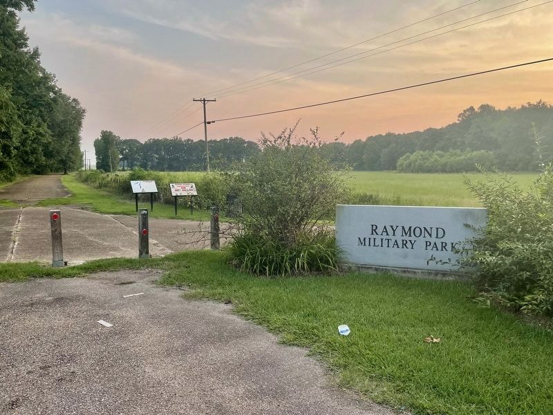
2. Confederate Route to Raymond Marker (left of two).
More about this marker. Duplicate of marker located near the Raymond Library with the town of Raymond.
Also see . . . Official website of the Friends of Raymond with detailed information on the Battle of Raymond. (Submitted on August 2, 2021, by Mark Hilton of Montgomery, Alabama.)
Photographed by Mark Hilton, July 30, 2021
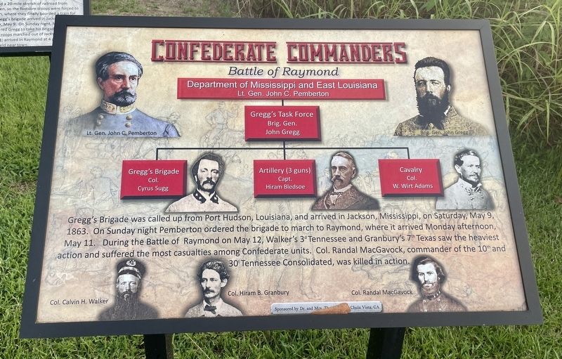
3. Nearby marker outlining the Confederate Commanders in the Battle of Raymond.
Photographed by Mark Hilton, July 30, 2021
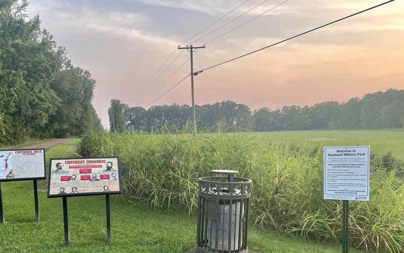
4. Confederate Route to Raymond and Commanders Markers along walking trail.
Credits. This page was last revised on August 2, 2021. It was originally submitted on August 2, 2021, by Mark Hilton of Montgomery, Alabama. This page has been viewed 261 times since then and 23 times this year. Photos: 1, 2, 3, 4. submitted on August 2, 2021, by Mark Hilton of Montgomery, Alabama.
