Welch in McDowell County, West Virginia — The American South (Appalachia)
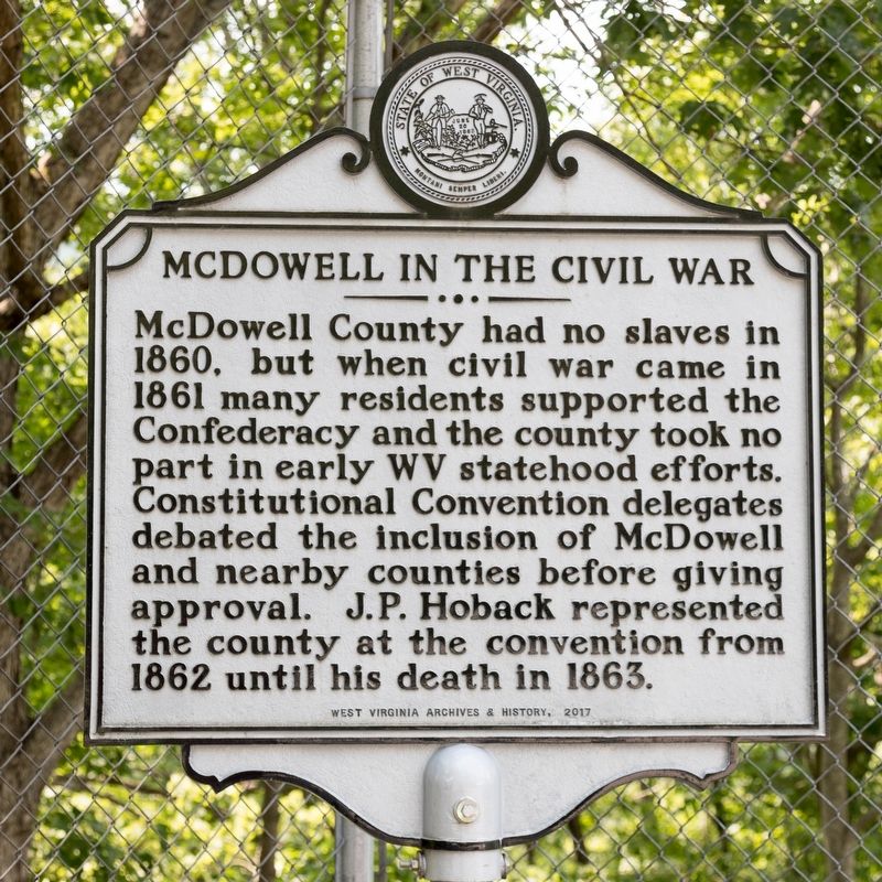
McDowell in the Civil War
Erected 2017 by West Virginia Archives & History.
Topics and series. This historical marker is listed in these topic lists: Government & Politics • War, US Civil. In addition, it is included in the West Virginia Archives and History series list. A significant historical year for this entry is 1960.
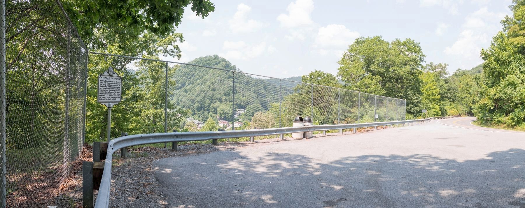
Location. 37° 25.788′ N, 81° 35.035′ W. Marker is in Welch, West Virginia, in McDowell County. Marker is on Coal Heritage Highway (U.S. 52) 1.1 miles west of Riverside Drive (West Virginia Route 103), on the right when traveling south. It is at the overlook. Touch for map. Marker is in this post office area: Welch WV 24801, United States of America. Touch for directions.
Other nearby markers. At least 8 other markers are within walking distance of this marker. McDowell County (approx. 0.2 miles away); Ethnic Population of McDowell County (approx. 0.2 miles away); Isaiah A. Welch (approx. 0.2 miles away); Hatfield & Chambers (approx. 0.2 miles away); McDowell County Courthouse (approx. 0.2 miles away); Welch (approx. 0.2 miles away); McDowell County Courthouse / Sid Hatfield (approx. 0.2 miles away); Marthan H. Moore Riverfront Park (approx. ¼ mile away). Touch for a list and map of all markers in Welch.
Credits. This page was last revised on August 3, 2021. It was originally submitted on August 3, 2021, by J. J. Prats of Powell, Ohio. This page has been viewed 285 times since then and 47 times this year. Photos: 1, 2. submitted on August 3, 2021, by J. J. Prats of Powell, Ohio.

