Pierre in Hughes County, South Dakota — The American Midwest (Upper Plains)
Oahe Mission School and Chapel
-1877-
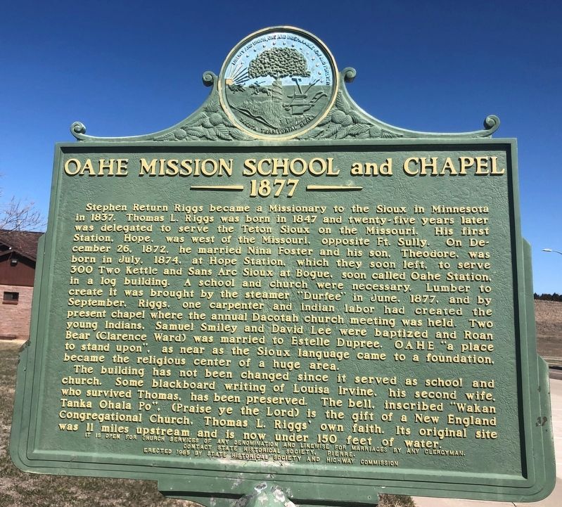
Photographed by Ruth VanSteenwyk, April 2, 2021
1. Oahe Mission School and Chapel Marker
The building has not been changed since it served as school and church. Some blackboard writing of Louisa Irvine, his second wife, who survived Thomas, has
this page online
It is open for church services of any denomination and likewise for marriages by any clergyman. Contact state historical society, Pierre.
Erected 1965 by State Historical Society and Highway Commission. (Marker Number 390.)
Topics and series. This historical marker is listed in these topic lists: Indigenous Peoples and Communities • Religion & Religious Structures • Settlements & Settlers. In addition, it is included in the South Dakota State Historical Society Markers series list. A significant historical month for this entry is June 1877.
Location. 44° 27.485′ N, 100° 23.154′ W. Marker is in Pierre, South Dakota, in Hughes County. It is at the intersection of South Dakota Route 1804 and Route 204 on South Dakota Route 1804. Located in a pull over next to a South Dakota State Tourism Center. Touch for map. Marker is at or near this postal address: 20037 SD-1804, Pierre SD 57501, United States
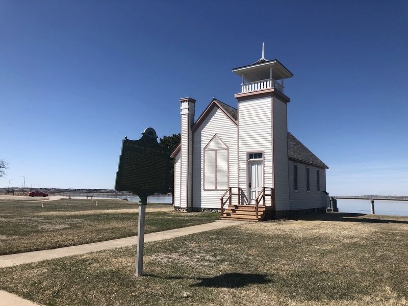
Photographed by Ruth VanSteenwyk, April 2, 2021
2. Oahe Mission School and Chapel Marker

Regionally, this marker is in East River. It is also in the American Lewis & Clark Corridor, on the prairies, and on the Northern Plains. Globally, it is in North America, the Western Hemisphere, the Western World, and the Anglosphere. Historically, it finds itself in what was once Rupert’s Land and also the Louisiana Purchase.
Other nearby markers. At least 8 other markers are within 2 miles of this marker, measured as the crow flies: Oahe Mission (here, next to this marker); The Lewis & Clark Expedition (approx. 1.1 miles away); The Lewis and Clark Expedition (approx. 1.1 miles away); A Changing Landscape (approx. 1.1 miles away); The Oahe Dam & Lake (approx. 1.1 miles away); A Tense Three Days (approx. 1.1 miles away); Archeology in Oahe Downstream (approx. 1.3 miles away); The Arikara / The Sioux (approx. 1.3 miles away). Touch for a list and map of all markers in Pierre.
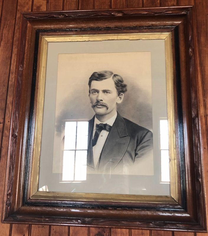
Photographed by Ruth VanSteenwyk, April 2, 2021
3. Pastor Thomas L. Riggs
Credits. This page was last revised on August 4, 2021. It was originally submitted on April 9, 2021, by Ruth VanSteenwyk of Aberdeen, South Dakota. This page has been viewed 466 times since then and 42 times this year. Last updated on August 3, 2021, by Ruth VanSteenwyk of Aberdeen, South Dakota. Photos: 1, 2, 3. submitted on April 9, 2021, by Ruth VanSteenwyk of Aberdeen, South Dakota. • J. Makali Bruton was the editor who published this page.
