Near Southside in Mason County, West Virginia — The American South (Appalachia)
Putnam County / Mason County
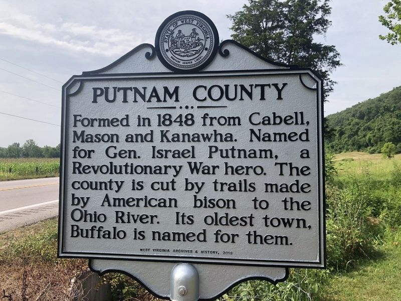
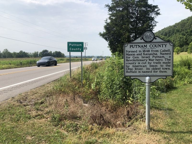
Putnam County. Formed in 1848 from Cabell, Mason and Kanawha. Named for Gen. Israel Putnam, a Revolutionary War hero. The county is cut by trails made by American bison to the Ohio River. Its oldest town, Buffalo is named for them.
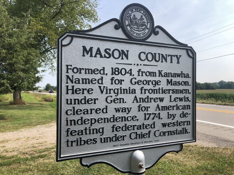
Mason County. Formed, 1804, from Kanawha. Named for George Mason. Here Virginia frontiersmen, under Gen. Andrew Lewis, cleared way for American independence, 1774, by defeating federated western tribes under Chief Cornstalk.
Erected 2019 by West Virginia Archives & History.
Topics and series. This historical marker is listed in these topic lists: Animals • Political Subdivisions • War, US Revolutionary • Wars, US Indian. In addition, it is included in the West Virginia Archives and History series list. A significant historical year for this entry is 1848.
Location. 38° 39.032′ N, 81° 58.254′ W. Marker is near Southside, West Virginia, in Mason County. Marker is on Kanawha Valley Road (U.S. 35) 0.9 miles north of Anderson Hollow Road (County Road 17/1), on the right when traveling south. The marker stands on the Mason County side of the border. Touch for map. Marker is in this post office area: Southside WV 25187, United States of America. Touch for directions.
Other nearby markers. At least 8 other markers are within 5 miles of this marker, measured as the crow flies. General McCausland (approx. half a mile away); Battle of Atkenson’s Gate (approx. 0.9 miles away); Buffalo Presbyterian Church (approx. 2.3 miles away); Buffalo Academy (approx. 2.3 miles away); “Lawnvale” / “Coin” Harvey (approx. 2.3 miles away); Historic Town of Buffalo (approx. 2.3 miles away); Raiders in Buffalo (approx. 2.3 miles away); Indian Village / Excavations (approx. 4.6 miles away).
Credits. This page was last revised on March 7, 2023. It was originally submitted on August 3, 2021, by Devry Becker Jones of Washington, District of Columbia. This page has been viewed 296 times since then and 30 times this year. Photos: 1, 2, 3. submitted on August 3, 2021, by Devry Becker Jones of Washington, District of Columbia.


