Near St. Albans in Putnam County, West Virginia — The American South (Appalachia)
Putnam County / Kanawha County
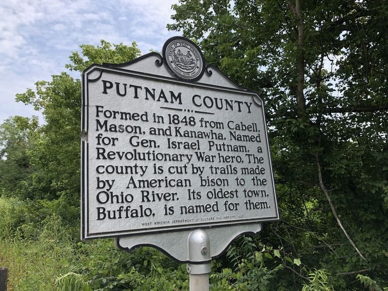
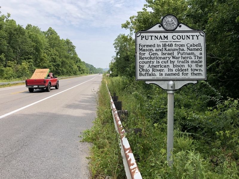
Putnam County. Formed in 1848 from Cabell, Mason, and Kanawha. Named for Gen. Israel Putnam, a Revolutionary War hero. The county is cut by trails made by American bison to the Ohio River. Its oldest town, Buffalo, is named for them.
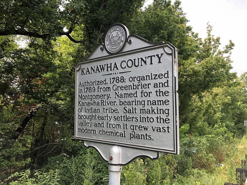
Kanawha County. Authorized, 1788; organized in 1798 from Greenbrier and Montgomery. Named for the Kanawha River, bearing name of Indian tribe. Salt making brought early settlers into the valley and from it grew vast modern chemical plants.
Erected 1981 by West Virginia Department of Archives and History.
Topics and series. This historical marker is listed in these topic lists: Native Americans • Political Subdivisions • War, US Revolutionary • Waterways & Vessels. In addition, it is included in the West Virginia Archives and History series list. A significant historical year for this entry is 1848.
Location. 38° 25.146′ N, 81° 51.437′ W. Marker is near St. Albans, West Virginia, in Putnam County. Marker is on Winfield Road (West Virginia Route 817) 0.4 miles north of Tompkins Crossing Road, on the right when traveling north. The marker is on the Putnam County side of the border. Touch for map. Marker is in this post office area: Saint Albans WV 25177, United States of America. Touch for directions.
Other nearby markers. At least 8 other markers are within walking distance of this marker . Nitro War Memorial (approx. 0.9 miles away); Lou Burdette (approx. 0.9 miles away); Kathy Mattea (approx. 0.9 miles away); Larry Barnett (approx. 0.9 miles away); Military Survey / Nitro (approx. 0.9 miles away); Co. B 142nd Infantry 36th Division (approx. 0.9 miles away); a different marker also named Co. B 142nd Infantry 36th Division (approx. 0.9 miles away); a different marker also named Co. B 142nd Infantry 36th Division (approx. 0.9 miles away).
Credits. This page was last revised on November 16, 2022. It was originally submitted on August 3, 2021, by Devry Becker Jones of Washington, District of Columbia. This page has been viewed 175 times since then and 15 times this year. Photos: 1, 2, 3. submitted on August 3, 2021, by Devry Becker Jones of Washington, District of Columbia.


