Chesterfield in St. Louis County, Missouri — The American Midwest (Upper Plains)
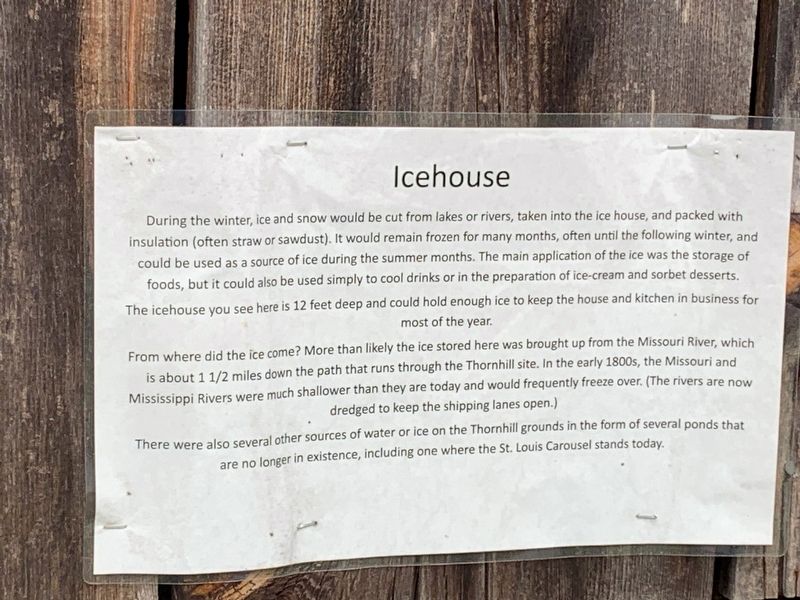
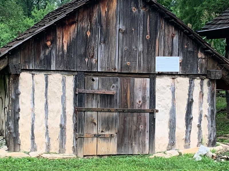
Icehouse
During the winter, ice and snow would be cut from lakes or rivers, taken into the icehouse, and packed with insulation[ often straw or sawdust]. It would remain frozen for, many months, often until the following winter, and could be used as a source of ice during the summer months. The main application of the ice was the storage of food, but it could also be used simply to cool drinks or in the preparation of ice-cream and sorbet desserts.
The icehouse you see here 12 feet deep and could hold enough ice to keep the house and kitchen in business for most of the year.
From where did the ice come? More than likely the ice stored here was brought up from the Missouri River, which is about 1 1/2 miles down the path that runs through the Thornhill site. In early 1800s, the Missouri and Mississippi Rivers were much shallower that they are today and would frequently freeze over. (The rivers are now dredged to keep the shipping lanes open.)
There where also several other sources of water or ice on the Thornhill grounds in the form of several ponds that are no longer in existence, including one where the St. Louis Carousel stands today.
Topics. This historical marker is listed in these topic lists: Agriculture • Industry & Commerce. A significant historical year for this entry is 1800.
Location. 38° 40.132′ N, 90° 32.755′ W. Marker is in Chesterfield, Missouri, in St. Louis County. Marker is on Thornhill Estate Drive, 0.3 miles north of Faust Park Rd, on the left when traveling north. The marker stands behind the Thornhill Residence. Touch for map. Marker is at or near this postal address: 15185 Olive Blvd, Chesterfield MO 63017, United States of America. Touch for directions.
Other nearby markers. At least 8 other markers are within walking distance of this marker. Smoke House (about 300 feet away, measured in a direct line); Thornhill (about 400 feet away); Miles A. Seed Carriage House (approx. 0.3 miles away); Alt School House (approx. 0.3 miles away); Hoch House (approx. 0.3 miles away); Mertz Log Home (approx. 0.3 miles away); Conway House (approx. 0.3 miles away); Sellenriek Barn (approx. 0.4 miles away). Touch for a list and map of all markers in Chesterfield.
Credits. This page was last revised on August 9, 2021. It was originally submitted on August 4, 2021, by Thomas Smith of Waterloo, Ill. This page has been viewed 140 times since then and 14 times this year. Photos: 1, 2. submitted on August 4, 2021, by Thomas Smith of Waterloo, Ill. • Devry Becker Jones was the editor who published this page.

