Charleston in Kanawha County, West Virginia — The American South (Appalachia)
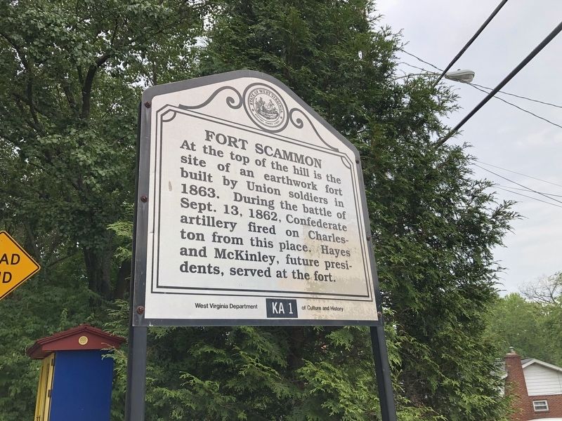
Fort Scammon
Erected by West Virginia Department of Culture and History. (Marker Number KA-1.)
Topics and series. This historical marker is listed in these topic lists: Forts and Castles • War, US Civil. In addition, it is included in the Former U.S. Presidents: #19 Rutherford B. Hayes, the Former U.S. Presidents: #25 William McKinley, and the West Virginia Archives and History series lists. A significant historical date for this entry is September 13, 1862.
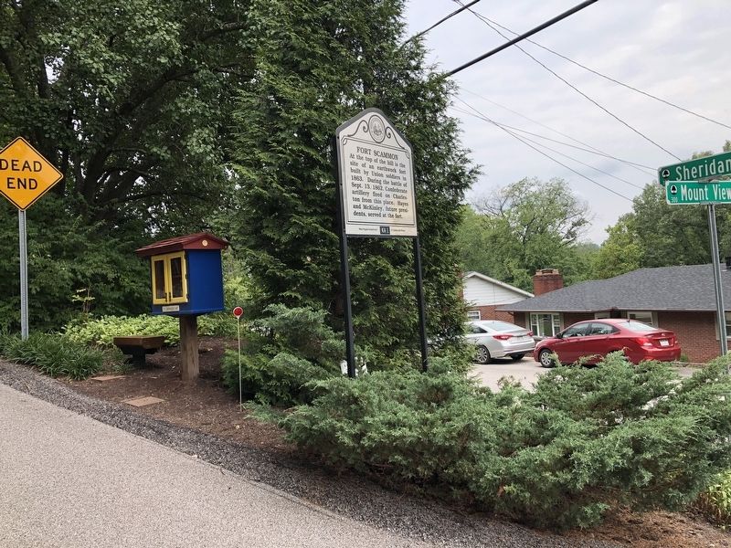
Location. 38° 21.061′ N, 81° 39.339′ W. Marker is in Charleston, West Virginia, in Kanawha County. Marker is at the intersection of Mt. View Drive and Sheridan Circle, on the right when traveling east on Mt. View Drive. Touch for map. Marker is at or near this postal address: 104 Sheridan Cir, Charleston WV 25314, United States of America. Touch for directions.
Other nearby markers. At least 8 other markers are within walking distance of this marker. A different marker also named Fort Scammon (approx. 0.3 miles away); Battle of Charleston (approx. 0.6 miles away); a different marker also named Battle of Charleston (approx. 0.6 miles away); George W. Summers (approx. 0.7 miles away); Pony Express (approx. 0.8 miles away); Military Occupation (approx. 0.9 miles away); Presidential Presence (approx. 0.9 miles away); Charleston (approx. 0.9 miles away). Touch for a list and map of all markers in Charleston.
Credits. This page was last revised on August 4, 2021. It was originally submitted on August 4, 2021, by Devry Becker Jones of Washington, District of Columbia. This page has been viewed 247 times since then and 24 times this year. Photos: 1, 2. submitted on August 4, 2021, by Devry Becker Jones of Washington, District of Columbia.

