Tryon in McPherson County, Nebraska — The American Midwest (Upper Plains)
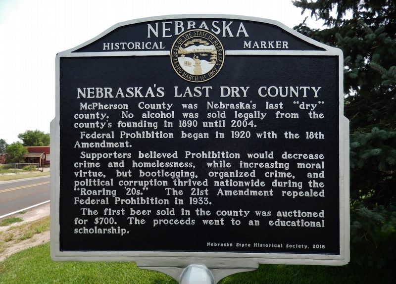
Nebraska's Last Dry County
Photographed by Cosmos Mariner, August 4, 2021
1. Nebraska's Last Dry County Marker
Federal Prohibition began in 1920 with the 18th Amendment.
Supporters believed Prohibition would decrease crime and homelessness, while increasing moral virtue, but bootlegging, organized crime, and political corruption thrived nationwide during the "Roaring ‘20s." The 21st Amendment repealed Federal Prohibition in 1933.
The first beer sold in the county was auctioned for $700. The proceeds went to an educational scholarship.
Erected 2018 by Nebraska State Historical Society. (Marker Number 547.)
Topics and series. This historical marker is listed in these topic lists: Industry & Commerce • Law Enforcement • Political Subdivisions. In addition, it is included in the Nebraska State Historical Society series list. A significant historical year for this entry is 2004.
Location. 41° 33.181′ N, 100° 57.498′ W. Marker is in Tryon, Nebraska, in McPherson County. It is on Glenn Miller Memorial Highway (State Highway 92) just west of North Anderson Street, on the left when traveling west. Marker
this page online

Regionally, this marker is in the Sand Hills. It is also in the American Midwest, in the Corn Belt, on the prairies, on the Great Plains, and specifically on the High Plains. Globally, it is in North America, the Western Hemisphere, the Western World, and the Anglosphere. Historically, it finds itself in what was once the Louisiana Purchase.
Photographed by Cosmos Mariner, August 4, 2021
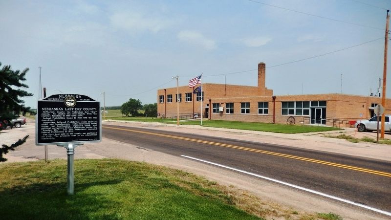
2. Nebraska's Last Dry County Marker
Photographed by Cosmos Mariner, August 4, 2021
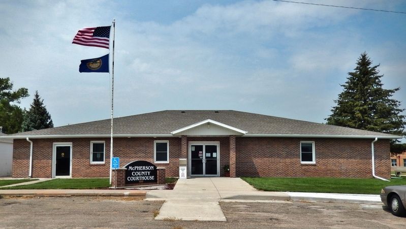
3. McPherson County Courthouse
Credits. This page was last revised on December 22, 2024. It was originally submitted on August 4, 2021, by Cosmos Mariner of Cape Canaveral, Florida. This page has been viewed 2,467 times since then and 254 times this year. Photos: 1, 2, 3. submitted on August 4, 2021, by Cosmos Mariner of Cape Canaveral, Florida.
