Charleston in Kanawha County, West Virginia — The American South (Appalachia)
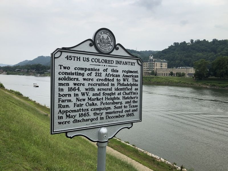
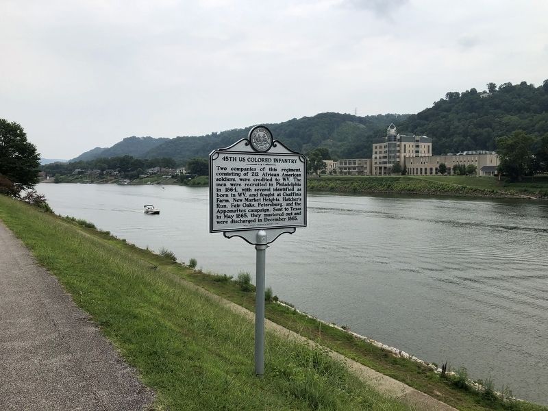
45th US Colored Infantry
Erected 2016 by West Virginia Archives & History.
Topics and series. This historical marker is listed in these topic lists: African Americans • War, US Civil. In addition, it is included in the West Virginia Archives and History series list. A significant historical month for this entry is May 1865.
Location. 38° 20.207′ N, 81° 37.061′ W. Marker is in Charleston, West Virginia, in Kanawha County. Marker is on Kanawha Boulevard East, 0.1 miles east of Greenbrier Street (U.S. 60), on the right when traveling east. Touch for map. Marker is at or near this postal address: 1620 Kanawha Blvd E, Charleston WV 25311, United States of America. Touch for directions.
Other nearby markers. At least 8 other markers are within walking distance of this marker. Slavery in West Virginia (about 300 feet away, measured in a direct line); The 35th Star (about 500 feet away); State Capitol (about 500 feet away); Executive Mansion (approx. 0.2 miles away); The Ruffners (approx. 0.2 miles away); Kanawha Riflemen (approx. 0.2 miles away); Limestone • Sandstone • Silica (approx. 0.2 miles away); Coal (approx. 0.2 miles away). Touch for a list and map of all markers in Charleston.
Also see . . . 45th United States Colored Infantry Regiment. Excerpt:
The regiment was formed in 1864, and was composed of men who had been born as free men and others who had been formerly enslaved, but had been freed prior to their enlistment with the Union Army and the USCT. The primary states of residence of the men who fought with this regiment were New Jersey, Pennsylvania, Virginia, and West Virginia.(Submitted on September 23, 2023, by J.T. Lambrou of New Boston, Michigan.)
Credits. This page was last revised on October 3, 2023. It was originally submitted on August 4, 2021, by Devry Becker Jones of Washington, District of Columbia. This page has been viewed 176 times since then and 28 times this year. Photos: 1, 2. submitted on August 4, 2021, by Devry Becker Jones of Washington, District of Columbia.

