Near Camden-on-Gauley in Webster County, West Virginia — The American South (Appalachia)
Webster County / Nicholas County
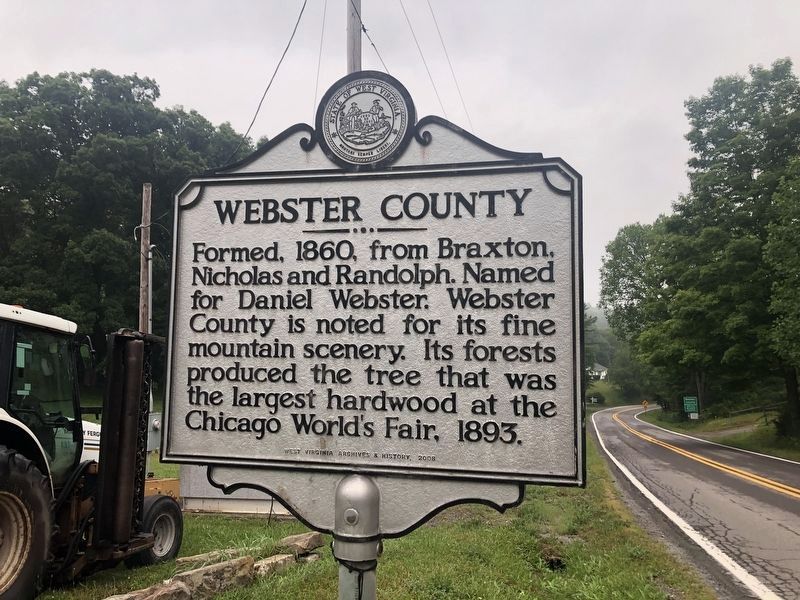
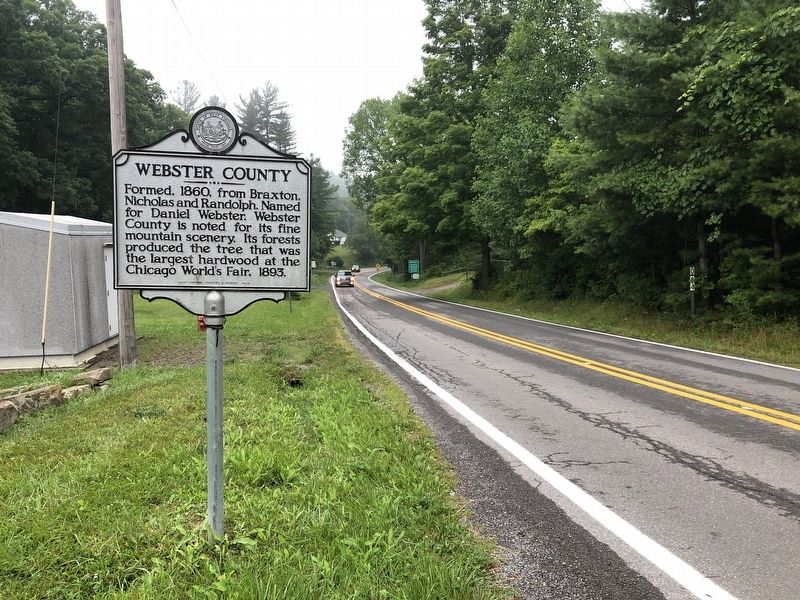
Webster County. Formed, 1860, from Braxton, Nicholas and Randolph. Named for Daniel Webster. Webster County is noted for tis fine mountain scenery. Its forests produced the tree that was the largest hardwood at the Chicago World's Fair, 1893.
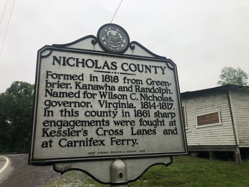
Nicholas County. Formed in 1818 from Greenbrier, Kanawha and Randolph. Named for Wilson C. Nicholas, governor, Virginia, 1814-1817. In this county in 1861 sharp engagements were fought at Kessler's Cross Lanes and Carnifex Ferry.
Erected 2008 by West Virginia Archives & History.
Topics and series. This historical marker is listed in these topic lists: Natural Features • Natural Resources • Political Subdivisions • War, US Civil. In addition, it is included in the West Virginia Archives and History series list. A significant historical year for this entry is 1860.
Location. 38° 21.837′ N, 80° 36.815′ W. Marker is near Camden-on-Gauley, West Virginia, in Webster County. Marker is at the intersection of Webster Road (West Virginia Route 20) and County Route 11 on Webster Road. The marker stands on the Webster County side of the border. Touch for map. Marker is at or near this postal address: 21883 Webster Rd, Craigsville WV 26205, United States of America. Touch for directions.
Other nearby markers. At least 8 other markers are within 14 miles of this marker, measured as the crow flies. Black's Chapel Memorial Church (about 500 feet away, measured in a direct line); Stroud Massacre (approx. ¼ mile away); Moccasin Rangers (approx. 3½ miles away); Cowen Shootout (approx. 4.4 miles away); B&O Railroad Depot (approx. 4.4 miles away); Crupperneck Bend (approx. 4.6 miles away); Young's Monument (approx. 11½ miles away); Nicholas County / Braxton County (approx. 13.1 miles away).
Credits. This page was last revised on May 12, 2022. It was originally submitted on August 5, 2021, by Devry Becker Jones of Washington, District of Columbia. This page has been viewed 155 times since then and 25 times this year. Photos: 1, 2, 3. submitted on August 5, 2021, by Devry Becker Jones of Washington, District of Columbia.


