Near Cowen in Webster County, West Virginia — The American South (Appalachia)
Moccasin Rangers
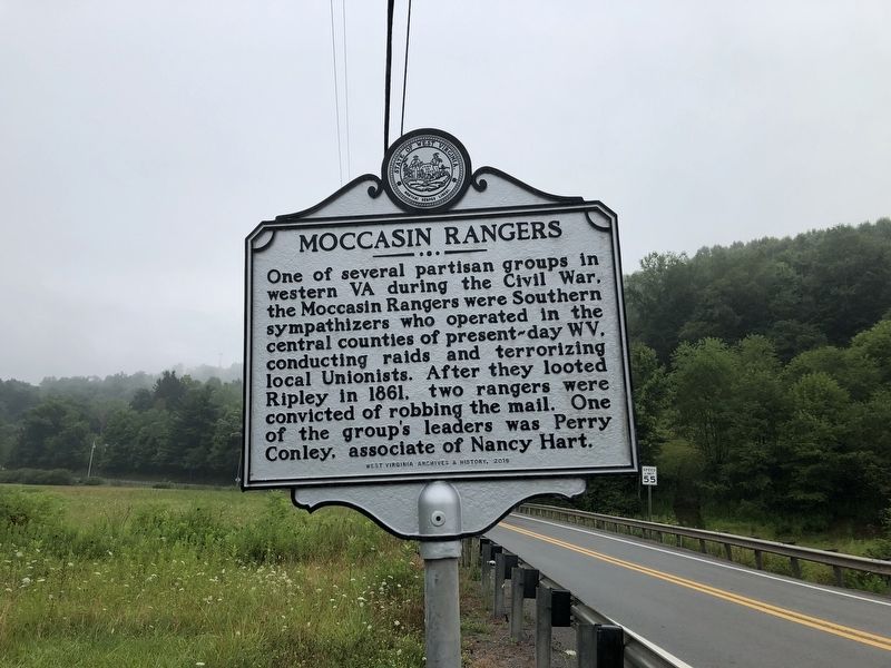
Erected 2016 by West Virginia Archives & History.
Topics and series. This historical marker is listed in this topic list: War, US Civil. In addition, it is included in the West Virginia Archives and History series list. A significant historical year for this entry is 1861.
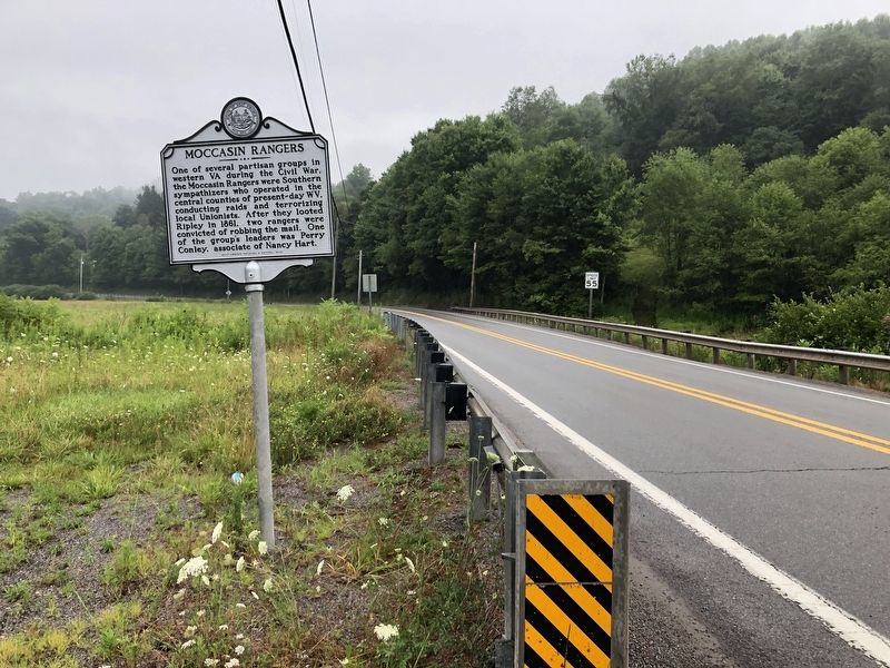
Location. 38° 23.845′ N, 80° 33.878′ W. Marker is near Cowen, West Virginia, in Webster County. It is at the intersection of Webster Road (Route 20) and Welch Glade Road (County Road 15/22), on the right when traveling north on Webster Road. Touch for map. Marker is at or near this postal address: 45 John Goff Rd, Cowen WV 26206, United States of America. Touch for directions.

Regionally, this marker is in West Virginia’s Potomac Highlands. It is also in the American South,
this page online
Other nearby markers. At least 8 other markers are within 10 miles of this marker, measured as the crow flies: Cowen Shootout (approx. 0.9 miles away); B&O Railroad Depot (approx. 0.9 miles away); Stroud Massacre (approx. 3½ miles away); Webster County / Nicholas County (approx. 3½ miles away); Black's Chapel Memorial Church (approx. 3.6 miles away); Crupperneck Bend (approx. 7.9 miles away); Webster Springs Hotel (approx. 9.9 miles away); a different marker also named Webster Springs Hotel (approx. 9.9 miles away). Touch for a list and map of all markers in Cowen.
Credits. This page was last revised on August 5, 2021. It was originally submitted on August 5, 2021, by Devry Becker Jones of Washington, District of Columbia. This page has been viewed 610 times since then and 50 times this year. Photos: 1, 2. submitted on August 5, 2021, by Devry Becker Jones of Washington, District of Columbia.
