Webster Springs in Webster County, West Virginia — The American South (Appalachia)
Guerrilla Warfare
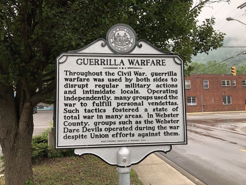
Erected 2019 by West Virginia Archives & History.
Topics and series. This historical marker is listed in this topic list: War, US Civil. In addition, it is included in the West Virginia Archives and History series list. A significant historical year for this entry is 1861.
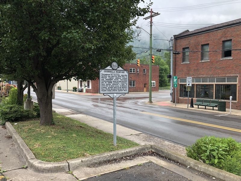
Location. 38° 28.779′ N, 80° 24.778′ W. Marker is in Webster Springs, West Virginia, in Webster County. It is at the intersection of North Main Street (West Virginia Route 20) and Baker Street ( Route 20), on the right when traveling north on North Main Street. Touch for map. Marker is at or near this postal address: 80 N Main St, Webster Springs WV 26288, United States of America. Touch for directions.

Regionally, this marker is in West Virginia’s Potomac Highlands.
this page online
Other nearby markers. At least 8 other markers are within walking distance of this marker: First National Bank of Webster Springs (about 500 feet away, measured in a direct line); Coal Block (about 500 feet away); Steven Paul Mollohan (about 500 feet away); Webster County Court Square (about 500 feet away); Veterans Memorial (about 500 feet away); a different marker also named Veterans Memorial (about 600 feet away); Webster Springs (about 600 feet away); Webster Springs Hotel (about 700 feet away). Touch for a list and map of all markers in Webster Springs.
Another marker is no longer nearby. Blue Monday Sand (was about 500 feet away but has been permanently removed).
Credits. This page was last revised on August 5, 2021. It was originally submitted on August 5, 2021, by Devry Becker Jones of Washington, District of Columbia. This page has been viewed 594 times since then and 52 times this year. Photos: 1, 2. submitted on August 5, 2021, by Devry Becker Jones of Washington, District of Columbia.
