Near Buckhannon in Upshur County, West Virginia — The American South (Appalachia)
French Creek
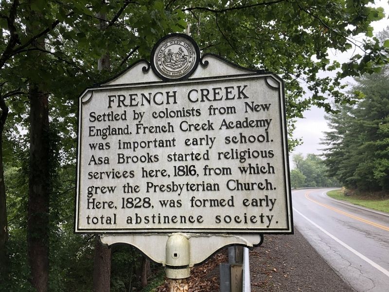
Erected by West Virginia Archives & History.
Topics and series. This historical marker is listed in these topic lists: Colonial Era • Education • Religion & Religious Structures • Settlements & Settlers. In addition, it is included in the West Virginia Archives and History series list. A significant historical year for this entry is 1816.
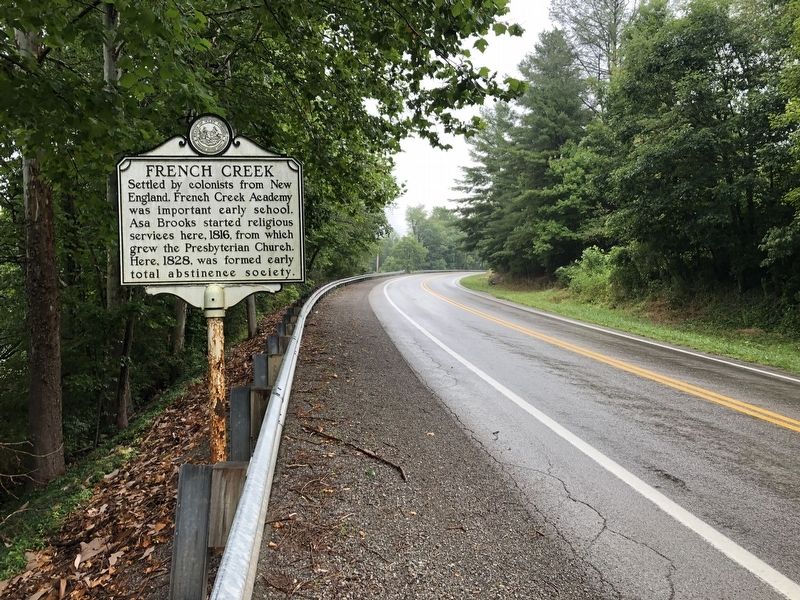
Location. 38° 53.211′ N, 80° 17.847′ W. Marker is near Buckhannon, West Virginia, in Upshur County. It is on Slab Camp (West Virginia Route 20) 0.1 miles north of County Road 32, on the left when traveling north. Touch for map. Marker is at or near this postal address: 34 Slab Camp, Buckhannon WV 26201, United States of America. Touch for directions.

Regionally, this marker is in North Central West Virginia. It is also in the American South, specifically in the Upper South, in Appalachia, and specifically in Northern Appalachia. Globally,
this page online
Other nearby markers. At least 8 other markers are within 8 miles of this marker, measured as the crow flies: Upshur Militia (approx. 3.9 miles away); Kesler's Raid (approx. 3.9 miles away); God Is My Witness (approx. 3.9 miles away); Veterans Memorial (approx. 3.9 miles away); McClellan's Buckhannon Camp (approx. 7.8 miles away); Jenkins in Buckhannon (approx. 7.8 miles away); The West Virginia Strawberry Festival (approx. 8.1 miles away); David S. Pinnell (approx. 8.1 miles away). Touch for a list and map of all markers in Buckhannon.
Credits. This page was last revised on August 25, 2021. It was originally submitted on August 5, 2021, by Devry Becker Jones of Washington, District of Columbia. This page has been viewed 711 times since then and 83 times this year. Photos: 1, 2. submitted on August 5, 2021, by Devry Becker Jones of Washington, District of Columbia.
