Venice in Los Angeles in Los Angeles County, California — The American West (Pacific Coastal)
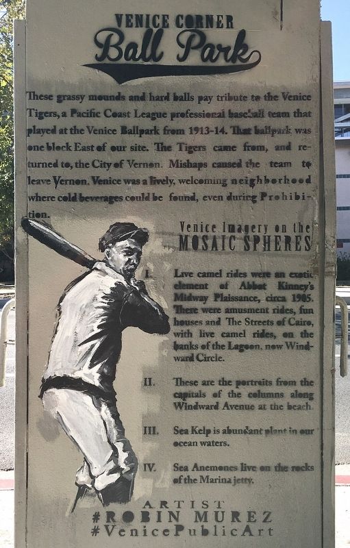
Venice Corner Ball Park
Photographed by Craig Baker, July 28, 2021
1. Venice Corner Ball Park Marker
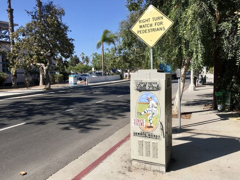
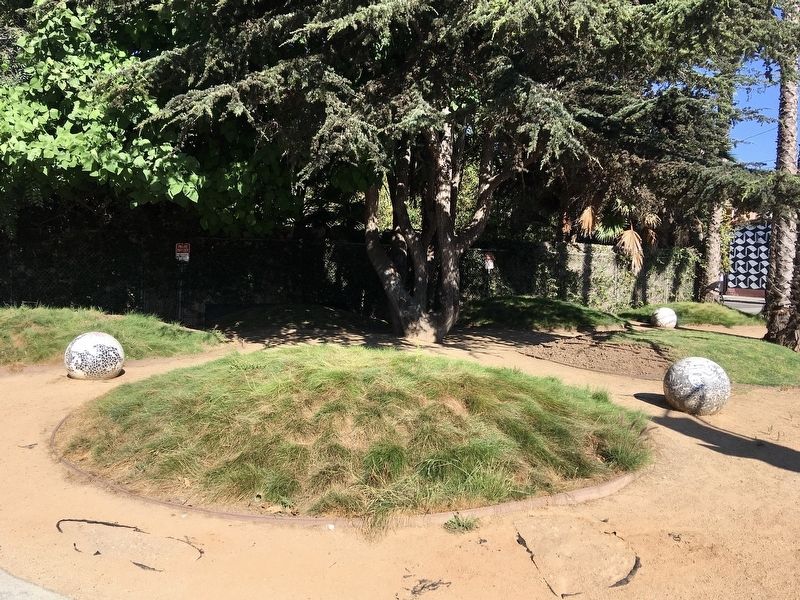
These grassy mounds and hard balls pay tribute to the Venice Tigers, a Pacific Coast League professional baseball team that played at the Venice Ballpark from 1913-14. That ballpark was one block East of our site. The Tigers came from, and returned to, the City of Vernon. Mishaps caused the team to leave Vernon. Venice was a lively, welcoming neighborhood where cold beverages could be found, even during Prohibition.
Venice Imagery on the Mosaic Spheres:
I. Live camel rides were an exotic element of Abbet Kinney's Midway Plaissance, circa 1905. There were amusement rides, fun houses and The Streets of Cairo, with live camel rides, on the banks of the Lagoon, now Windward Circle.
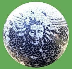
II. These are the portraits from the capitals of the columns along Windward Avenue at the beach.
III. Sea Kelp is abundant plant in our ocean waters.
IV. Sea Anemones live on the rocks of the Marina jetty.
Erected by artist Robin Murez, and Venice Public Art.
Topics. This historical marker is listed in these topic lists: Entertainment • Parks & Recreational Areas • Sports. A significant historical year for this entry is 1913.
Location. 33° 59.238′ N, 118° 27.904′ W. Marker is in Los Angeles, California, in Los Angeles County. It is in Venice. It is at the intersection of South Venice Boulevard and Ocean Avenue, on the right when traveling east on South Venice Boulevard. Touch for map. Marker is at or near this postal address: 522 Venice Blvd, Venice CA 90291, United States of America. Touch for directions.

Regionally, this marker is in the Transverse Ranges. It is also on the American Pacific Coast. Globally, it is in North America, on the Ring of Fire, on the Pacific Rim, in the Western Hemisphere, in the Western World, and in the Anglosphere. Historically, it finds itself
this page online
Other nearby markers. At least 8 other markers are within walking distance of this marker: Venice - Coney Island of the Pacific (about 600 feet away, measured in a direct line); Venice Canals (approx. ¼ mile away); Venice of America House (approx. 0.3 miles away); Venice-of-America Gondola (approx. 0.3 miles away); Ray Bradbury House (approx. 0.4 miles away); Luminaries of Pantheism Mural (approx. 0.4 miles away); 1110-1116 Abbot Kinney Boulevard (approx. 0.4 miles away); Saint Florian (approx. 0.4 miles away). Touch for a list and map of all markers in Los Angeles.
Photographed by Craig Baker, July 28, 2021
2. Venice Corner Ball Park Marker
Photographed by Craig Baker, July 28, 2021
3. Mosaic Spheres
courtesy VenicePublicArt.com
4. Portrait from columns
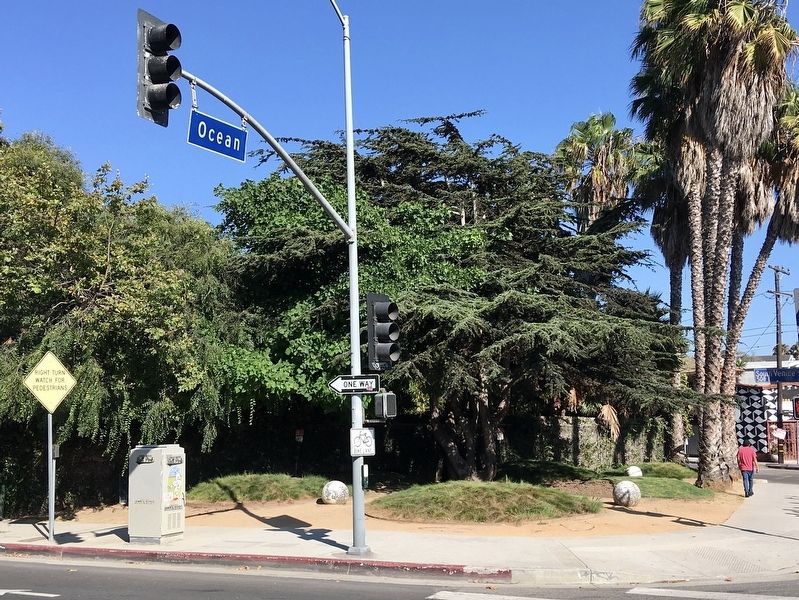
Photographed by Craig Baker, July 28, 2021
5. Venice Corner
Credits. This page was last revised on May 30, 2023. It was originally submitted on August 5, 2021, by Craig Baker of Sylmar, California. This page has been viewed 2,130 times since then and 60 times this year. Photos: 1, 2, 3, 4, 5. submitted on August 5, 2021, by Craig Baker of Sylmar, California.
