Lockport in Niagara County, New York — The American Northeast (Mid-Atlantic)
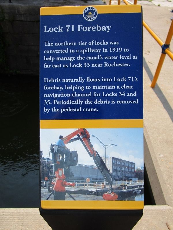
Lock 71 Forebay
Photographed by Anton Schwarzmueller, August 6, 2021
1. Lock 71 Forebay Marker
Debris naturally floats into Lock 71's forebay, helping to maintain a clear navigation channel for Locks 34 and 35. Periodically the debris is removed by the pedestal crane.
Erected by New York Canals.
Topics and series. This historical marker is listed in this topic list: Waterways & Vessels. In addition, it is included in the Erie Canal series list. A significant historical year for this entry is 1919.
Location. 43° 10.237′ N, 78° 41.62′ W. Marker is in Lockport, New York, in Niagara County. It can be reached from Canal Street near Ontario Street. Marker may be accessed by a staircase from Canal Street to the Erie Canal Heritage Trail. Touch for map. Marker is in this post office area: Lockport NY 14094, United States of America. Touch for directions.

Regionally, this marker is in Upstate New York, specifically in Western New York, and in the Buffalo Metropolitan Area. It is also in the American Northeast and in the Mid-Atlantic. Globally, it is in North America, on the
this page online
Other nearby markers. At least 8 other markers are within walking distance of this marker: Canal Street (a few steps from this marker); Hydraulic Race Control Gates (a few steps from this marker); Historic Fittings (within shouting distance of this marker); Lower Lock Construction (within shouting distance of this marker); Rope Marks in Iron Railings (within shouting distance of this marker); Tour Boat Then & Now (within shouting distance of this marker); Harrison Radiator Company (within shouting distance of this marker); Growing Pains (within shouting distance of this marker). Touch for a list and map of all markers in Lockport.
Photographed by Anton Schwarzmueller, August 6, 2021
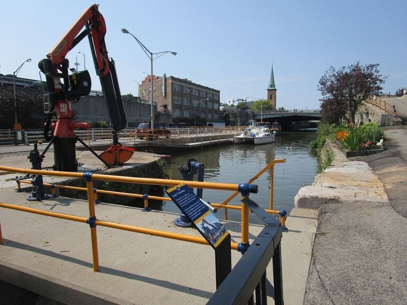
2. Lock 71 Forebay Marker
Forebay & pedestal crane. View is westbound.
Photographed by Anton Schwarzmueller, August 6, 2021
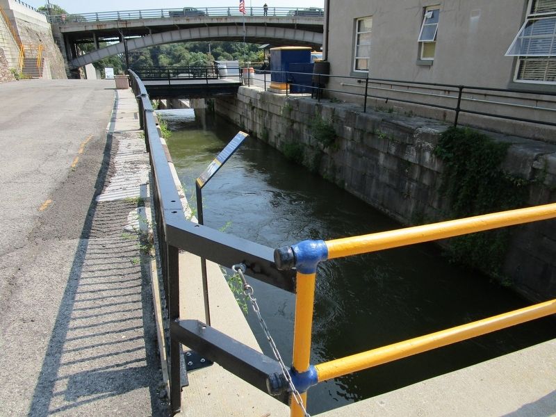
3. Lock 71 Forebay Marker
View is eastbound. This is the highest level of the "Flight of Five" 1842 locks now used as a spillway and with a restored lower lock for demonstrations. Pine Steet Bridge in background. At left is the Erie Canal Heritage Trail and a staircase to Canal Street.
Credits. This page was last revised on August 6, 2021. It was originally submitted on August 6, 2021, by Anton Schwarzmueller of Wilson, New York. This page has been viewed 302 times since then and 24 times this year. Photos: 1, 2, 3. submitted on August 6, 2021, by Anton Schwarzmueller of Wilson, New York.
