Near Eyota in Olmsted County, Minnesota — The American Midwest (Upper Plains)
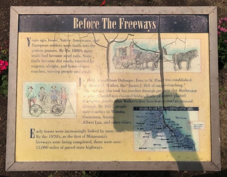
Before The Freeways
In 1854, a road from Dubuque, Iowa to St. Paul was established by Martin O. Walker, the "James J. Hill of stage-coaching." The four day trip took his coaches through present-day Rochester and over Zumbrota's covered bridge. Early planners platted Rochester shortly after Walker's first four-horse coaches passed through. By 1857, people rode coaches to Winona, Owatonna, Austin, Albert Lea, and other cities.
Early towns were increasingly linked by more roads. By the 1970's, as the first of Minnesota's freeways were being completed, there were over 12,000 miles of paved state highways.
Topics. This historical marker is listed in these topic lists: Native Americans • Roads & Vehicles • Settlements & Settlers. A significant historical year for this entry is 1854.
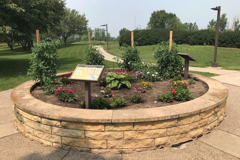
Location. 43° 57.379′ N, 92° 17.105′ W. Marker is near Eyota, Minnesota, in Olmsted County. Marker is on Interstate 90 at milepost 222,, 2.3 miles west of State Route 42. Located at I-90 Marion Rest Area (westbound). Touch for map. Marker is in this post office area: Eyota MN 55934, United States of America. Touch for directions.
Other nearby markers. At least 8 other markers are within 10 miles of this marker, measured as the crow flies. Medical Pioneers of Minnesota (here, next to this marker); The Mayo Memorial (approx. 9.6 miles away); Birth of the Minnesota Education Association (approx. 9.7 miles away); Chatfield (approx. 9.8 miles away); Conley Maass Downs Building (approx. 9.9 miles away); History of Silver Lake (approx. 9.9 miles away); Roosevelt Honors Mayos (approx. 10 miles away); Geology of Minnesota (approx. 10 miles away).
Credits. This page was last revised on June 20, 2022. It was originally submitted on August 6, 2021. This page has been viewed 141 times since then and 21 times this year. Photos: 1, 2. submitted on August 6, 2021. • Mark Hilton was the editor who published this page.

