Near Talihina in Le Flore County, Oklahoma — The American South (West South Central)
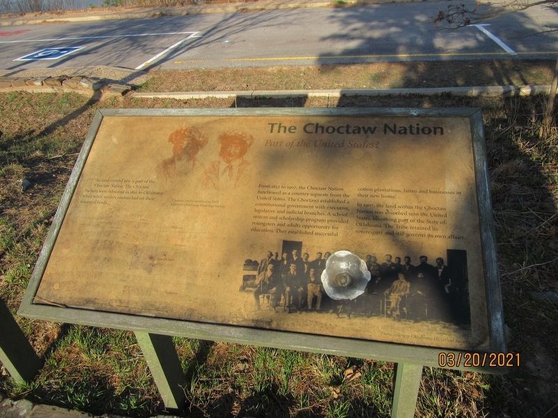
The Choctaw Nation
Part of the United States?
The land around you is part of the Choctaw Nation. The Choctaw Indians were relocated in 1832 to Oklahoma when white settlers encroached on their ancestral lands.
From 1832 to 1907, the Choctaw Nation functioned as a country separate from the United States. The Choctaws established a constitutional government with executive, legislative and judicial branches. A school system and scholarship program provided youngsters and adults opportunity for education. They established successful cotton plantations, farms and businesses in their new home.
In 1907, the land within the Choctaw Nation was absorbed into the United States, becoming part of the State of Oklahoma. The Tribe retained its sovereignty and still governs its own affairs.
Caption:
Choctaw youths sketched in 1853. Courtesy Oklahoma Historical Society
Topics. This historical marker is listed in this topic list: Native Americans. A significant historical year for this entry is 1832.
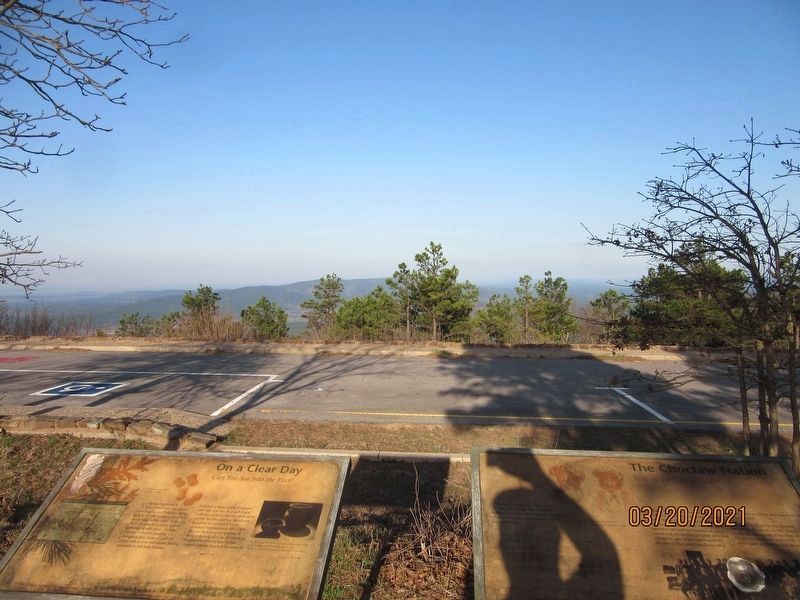
Location. 34° 46.79′ N, 94° 54.077′ W. Marker is near Talihina, Oklahoma, in Le Flore County. Marker is on Talimena National Scenic Byway (State Highway 1) north of Forest Road 6010, on the left when traveling north. The marker is in the center of the Panorama Vista loop. Touch for map. Marker is in this post office area: Wister OK 74966, United States of America. Touch for directions.
Other nearby markers. At least 8 other markers are within 6 miles of this marker, measured as the crow flies. On a Clear Day (here, next to this marker); Deadman Vista (approx. 1˝ miles away); Military Road of 1832 (approx. 2.7 miles away); Ft. Smith -- Ft. Towson Military Road (approx. 2.7 miles away); First Military Road (approx. 2.7 miles away); Old Lenox Mission (approx. 5.4 miles away); Lenox Mission (approx. 5.9 miles away); A Settling Experience (approx. 5.9 miles away). Touch for a list and map of all markers in Talihina.
Credits. This page was last revised on August 8, 2021. It was originally submitted on August 6, 2021, by Jason Armstrong of Talihina, Oklahoma. This page has been viewed 125 times since then and 17 times this year. Photos: 1, 2. submitted on August 6, 2021, by Jason Armstrong of Talihina, Oklahoma. • J. Makali Bruton was the editor who published this page.

