Near Ouray in Ouray County, Colorado — The American Mountains (Southwest)
Reclaiming the Land
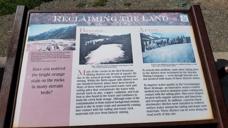
Before...
Many of the creeks in the Red Mountain Mining District are devoid of aquatic life due to the natural geologic setting and historic mining. Within the thirty-square mile district over one hundred historic mines have been located. Many of these mines generated waste rock and tailing piles that contaminate the water with metals such as zinc, copper, cadmium, and lead. Iron is also found in the water and continues to stain the creek beds orange. Although some of the contamination is from natural background erosion, much is due to water (rain and snowmelt) coming into contact with the tailing and waste rock materials left over from historic mining.
After...
To remedy this problem, some mine tailing piles in the district were reclaimed by the Idarado Mining Company even though Idarado was not involved with many of these historic mines.
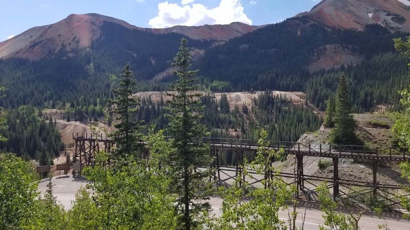
To improve water quality in the Uncompahgre River drainage, an innovative source-control method was used to minimize water coming into contact with the tailing piles. They were shaped, treated with organic nutrients and limestone, and revegetated. In addition, concrete-lined stormwater ditches were installed to redirect surface water around the tailing and waste rock materials. These ditches can be seen along the road north of this site.
Have you noticed the bright orange stain on the rocks in many stream beds?
Captions
Upper left: Earth moving equipment was used to shape the tailing piles to allow for revegetation. As part of the reclamation, Idarado Mining Company agreed to fund this interpretive area that overlooks the Red Mountain Mining District. - Photo courtesy of Idarado Mining Company
Upper middle: Mine tailing pile before reclamation work began in 1994. - Photo courtesy of Idarado Mining Company
Upper right: Grasses and wildflowers growing on a stabilized tailings in 1996. - Photo courtesy of Idarado Mining Company
Erected by USDA Forest Service, Colorado Historical Society.
Topics. This historical marker is listed in this topic list: Environment. A significant historical year for this entry is 1994.
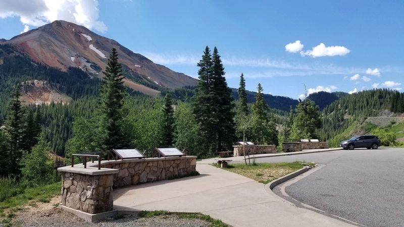
Location. 37° 54.914′ N, 107° 42.071′ W. Marker is near Ouray, Colorado, in Ouray County. Marker is on Million Dollar Highway (U.S. 550) 2 miles south of County Highway 31, on the left when traveling north. The marker is located at a small scenic road side park. Touch for map. Marker is in this post office area: Ouray CO 81427, United States of America. Touch for directions.
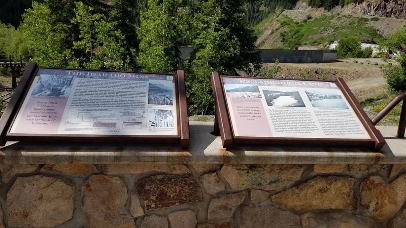
Other nearby markers. At least 8 other markers are within walking distance of this marker. The Idarado Mine (here, next to this marker); Boom Towns (a few steps from this marker); The Yankee Girl
(a few steps from this marker); The Heart of the Red Mountains (within shouting distance of this marker); The Silverton Railroad (within shouting distance of this marker); The Treasury Tunnel (within shouting distance of this marker); Mine Reclamation Improves Water Quality (within shouting distance of this marker); Idarado Houses (about 300 feet away, measured in a direct line). Touch for a list and map of all markers in Ouray.
Credits. This page was last revised on August 7, 2021. It was originally submitted on August 7, 2021, by James Hulse of Medina, Texas. This page has been viewed 101 times since then and 10 times this year. Photos: 1, 2, 3, 4. submitted on August 7, 2021, by James Hulse of Medina, Texas.


