Near Mashulaville in Noxubee County, Mississippi — The American South (East South Central)
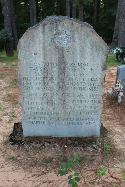
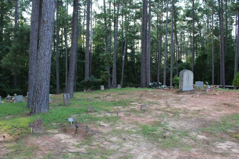
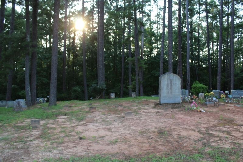
Dancing Rabbit Creek Treaty Site
Commissioners – John Coffee, John H. Easton
Choctaw Chiefs – Greenwood LeFleur, Mushulatubbee, Little Leader
Interpretor – John Pitchlynn
Erected by Bernard Romans Chapter, D.A.R Columbus, Miss.
Erected by Bernard Romans Chapter, D.A.R.
Topics. This historical marker is listed in this topic list: Native Americans. A significant historical date for this entry is September 27, 1830.
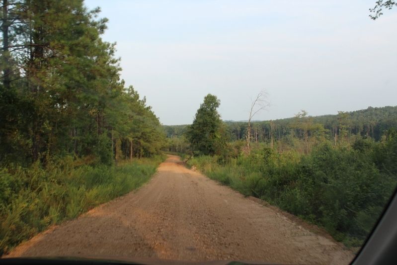
Location. 33° 0.579′ N, 88° 45.377′ W. Marker is near Mashulaville, Mississippi, in Noxubee County. Marker is on Monument Road / Dancing Rabbit Road, 2.2 miles south of Butler Road, on the right when traveling south. Touch for map. Marker is in this post office area: Macon MS 39341, United States of America. Touch for directions.
Other nearby markers. At least 8 other markers are within 14 miles of this marker, measured as the crow flies. Mashulaville (Elim) Baptist Church (approx. 4.8 miles away); Treaty of Dancing Rabbit Creek (approx. 5.1 miles away); Summerville Institute (approx. 5.2 miles away); Old Salem School (approx. 10.1 miles away); Nanih Waiya (approx. 12.7 miles away); Dancing Rabbit Creek (approx. 12.9 miles away); First Court Term of Noxubee County (approx. 13.1 miles away); Noxubee County Confederate Monument (approx. 13.1 miles away).
Related markers. Click here for a list of markers that are related to this marker.
Also see . . . Treaty of Dancing Rabbit Creek (1830). (Submitted on August 7, 2021, by Tom Bosse of Jefferson City, Tennessee.)
Credits. This page was last revised on August 8, 2021. It was originally submitted on August 7, 2021, by Tom Bosse of Jefferson City, Tennessee. This page has been viewed 769 times since then and 80 times this year. Photos: 1, 2, 3, 4. submitted on August 7, 2021, by Tom Bosse of Jefferson City, Tennessee. • Bernard Fisher was the editor who published this page.


