Canton in Madison County, Mississippi — The American South (East South Central)
Way's Bluff Bridge
Photographed by Cajun Scrambler, August 2, 2021
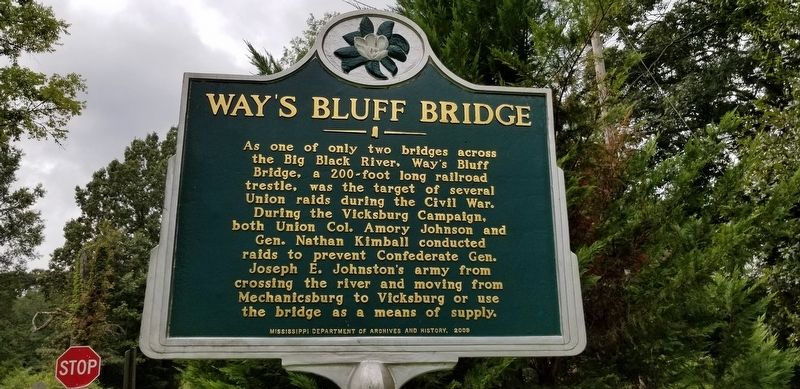
1. Way's Bluff Bridge Marker
As one of only two bridges across the Big Black River, Way's Bluff Bridge, a 200-foot long railroad trestle, was the target of several Union raids during the Civil War. During the Vicksburg Campaign, both Union Col. Amory Johnson and Gen. Nathan Kimball conducted raids to prevent Confederate Gen. Joseph E. Johnston's army from crossing the river and moving from Mechanicsburg to Vicksburg or use the bridge as a means of supply.
Erected 2009 by Mississippi Department of Archives and History.
Topics and series. This historical marker is listed in these topic lists: Bridges & Viaducts • War, US Civil. In addition, it is included in the Mississippi State Historical Marker Program series list.
Location. 32° 44.948′ N, 90° 0.658′ W. Marker is in Canton, Mississippi, in Madison County. It is on Way Road near Gray Center Road North, on the left when traveling east. Touch for map. Marker is at or near this postal address: 1530 Way Road, Canton MS 39046, United States of America. Touch for directions.

Regionally, this marker is in Natchez Trace Corridor
this page online
Other nearby markers. At least 8 other markers are within 10 miles of this marker, measured as the crow flies: Mount Zion Baptist Church (approx. 9.4 miles away); Old U.S. Post Office (approx. 9½ miles away); Hickory Street (approx. 9½ miles away); Madison County Courthouse (approx. 9½ miles away); Madison County Movement (approx. 9½ miles away); Grace Church (approx. 9½ miles away); Old Madison County Jail (approx. 9.6 miles away); Priestley House (approx. 9.6 miles away). Touch for a list and map of all markers in Canton.
Photographed by Cajun Scrambler, August 2, 2021
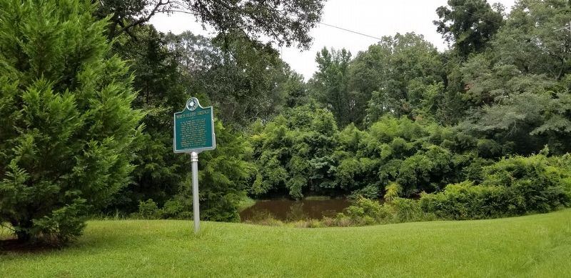
2. Way's Bluff Bridge Marker
Credits. This page was last revised on August 7, 2021. It was originally submitted on August 7, 2021, by Cajun Scrambler of Assumption, Louisiana. This page has been viewed 748 times since then and 68 times this year. Photos: 1, 2. submitted on August 7, 2021, by Cajun Scrambler of Assumption, Louisiana.
