Sanford in Seminole County, Florida — The American South (South Atlantic)
Osteen Bridge Turner
Museum Of Seminole County History
Photographed by Brandon D Cross, August 7, 2021
1. Osteen Bridge Turner Marker
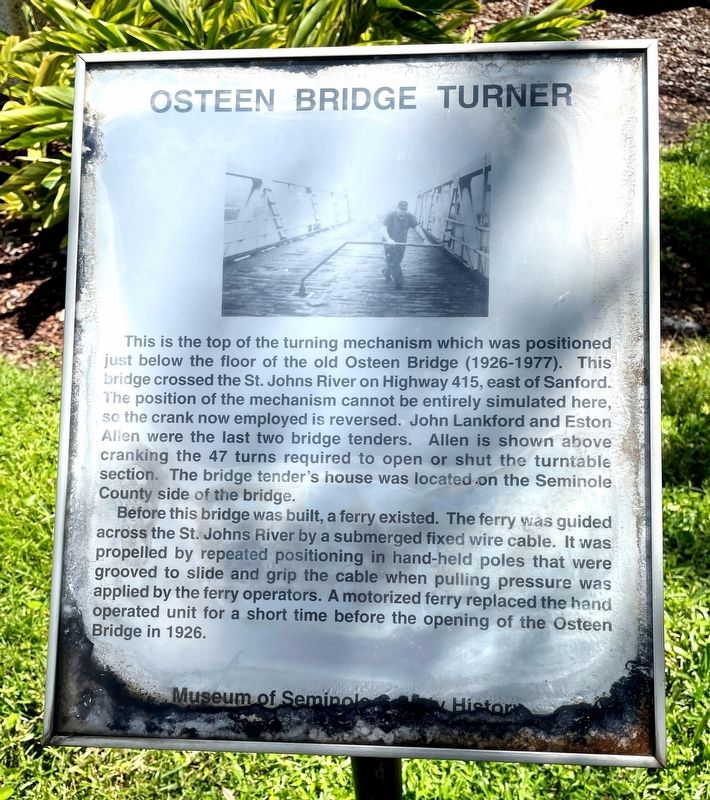
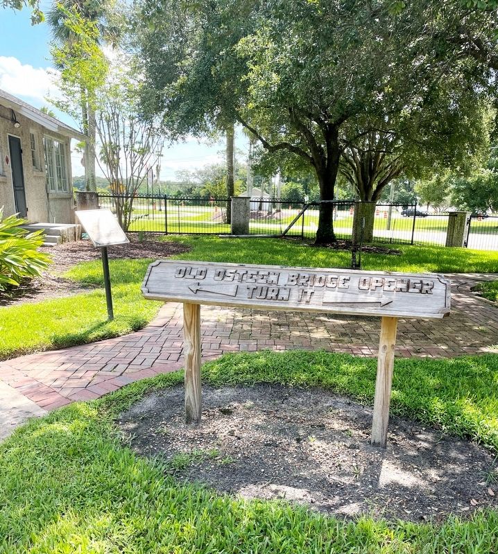
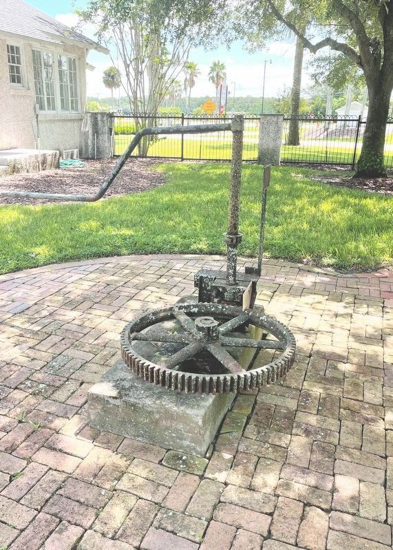
This is the top of the turning mechanism which was positioned just below the floor of the old Osteen Bridge (1926-1977). This bridge crossed the St. Johns River on Highway 415, east of Sanford. The position of the mechanism cannot be entirely simulated here, so the crank now employed is reversed. John Lankford and Eston Allen were the last two bridge tenders. Allen is shown above cranking the 47 turns required to open or shut the turntable section. The bridge tender’s house was located on the Seminole County side of the bridge.
Before this bridge was built, a ferry existed. The ferry was guided across the St. Johns River by a submerged fixed wire cable. It was propelled by repeated positioning in hand –held poles that were grooved to slide and grip the cable when pulling pressure was applied by the ferry operators. A motorized ferry replaced the hand operated unit for a short time before the opening of the Osteen Bridge in 1926.
Erected by Museum Of Seminole County History.
Topics. This historical marker is listed in these topic lists: Bridges & Viaducts • Roads & Vehicles. A significant historical year for this entry is 1926.
Location. 28° 44.587′ N,
this page online

Regionally, this marker is in Greater Orlando and in Central Florida. It is also in the American South. Globally, it is in the North Atlantic Region, North America, a Gulf of Mexico state, the Western Hemisphere, the Western World, and the Anglosphere. Historically, it finds itself in what was once New Spain, the territory of the Mississippian Culture, one of the Confederate States of America, and the Antebellum South.
Other nearby markers. At least 8 other markers are within 2 miles of this marker, measured as the crow flies: Old Folks Home (within shouting distance of this marker); Oviedo Turntable (within shouting distance of this marker); Fixed Signal (within shouting distance of this marker); The Dala Horse
Photographed by Brandon D Cross, August 7, 2021
2. Osteen Bridge Turner Marker
Photographed by Brandon D Cross, August 7, 2021
3. Osteen Bridge Turner
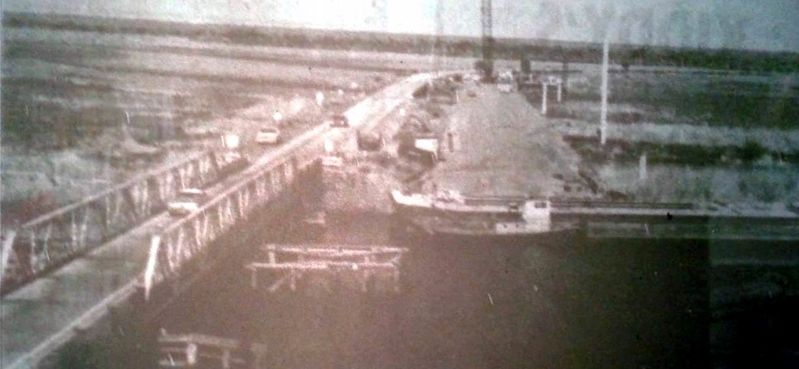
Photo Courtesy Sanford Museum
4. Osteen Bridge circa 1960s
Photo courtesy Sanford Museum
Credits. This page was last revised on August 11, 2021. It was originally submitted on August 7, 2021, by Brandon D Cross of Flagler Beach, Florida. This page has been viewed 729 times since then and 115 times this year. Photos: 1, 2, 3, 4. submitted on August 7, 2021, by Brandon D Cross of Flagler Beach, Florida. • Devry Becker Jones was the editor who published this page.
