Near Pickensville in Pickens County, Alabama — The American South (East South Central)
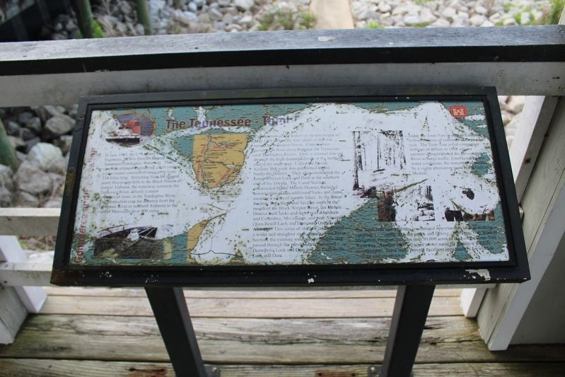
The Tennessee - Tombigbee Waterway
Construction of the waterway system began in May 1971, when the first spade of dirt was turned by President Nixon. Construction occurred in three areas between the Tennessee and Tombigbee Rivers. First, a channel was cut through the high drainage divide at the northern end of the waterway. Called the Divide Section, this work was performed by the Nashville District. They also constructed the Jamie Whitten Lock and Dam at the southern end of the Divide. The Canal Section, constructed by the Mobile District, included construction of five additional locks and dams, creating a series of narrow lakes. In the River Section, from the Canal Section south the mouth of the Black Warrior River, the Mobile District built locks and dams near Aberdeen and Columbus, Mississippi, and near Aliceville (Tom Bevill Lock and Dam) and Gainesville, Alabama. This series of shallow lakes created a wider and straighter river. South of the River Section, the existing waterway to Mobile Bay passed through the previously constructed Demopolis Lock and Dam and the Cotteeville Lock and Dam.
Today the Tenn-Tom is used to transport millions of tons of commercial cargo each year. The Tenn-Tom saved companies millions of dollars in 1988 when a summer drought closed the Mississippi River to barge traffic. Unaffected by low water conditions, the waterway proved to be a viable alternative route to the Gulf of Mexico.
The Tenn-Tom also provides recreational opportunities such as boating, camping, swimming, daily-use parks, and fishing. The Tenn-Tom Wildlife Mitigation Program includes over 80,000 acres of land on the Tenn-Tom Waterway. Another 100,000 acres are set aside for intensive wildlife management. These lands provide excellent opportunities for wildlife hunting and observation.
Erected by U.S. Army Corps of Engineers - Mobile District.
Topics. This historical marker is listed in these topic lists: Bridges & Viaducts • Industry & Commerce • Waterways & Vessels. A significant historical month for this entry is May 1971.
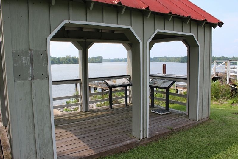
Location. 33° 12.746′ N, 88° 17.145′ W. Marker is near Pickensville, Alabama, in Pickens County. Marker can be reached from Lock and Dam Road, half a mile south of Marina Parkway, on the right when traveling south. Located near the Tom Bevill Visitor Center. Touch for map. Marker is at or near this postal address: 1382 Lock & Dam Rd, Carrollton AL 35447, United States of America. Touch for directions.
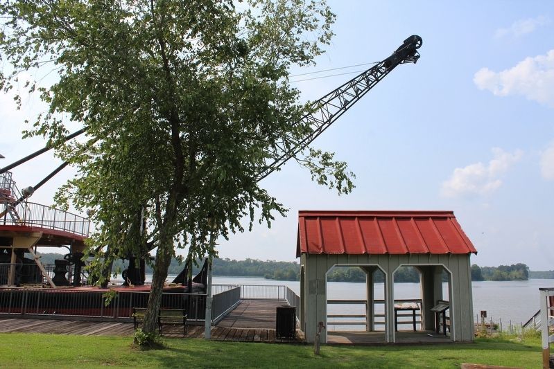
Other nearby markers. At least 8 other markers are within 10 miles of this marker, measured as the crow flies. History of the Snagboat Montgomery (here, next to this marker); The U.S. Snagboat Montgomery (about 400 feet away, measured in a direct line); Pickensville Historic District (approx. 1½ miles away); Historic Pickensville Rosenwald School (approx. 2½ miles away); Aliceville First Baptist Church (approx. 7.3 miles away); George Downer Field (approx. 9.1 miles away); R. J. Kirksey High School (approx. 9.2 miles away); Aliceville Prisoner of War Camp (approx. 9.3 miles away). Touch for a list and map of all markers in Pickensville.
Also see . . . Tennessee–Tombigbee Waterway. (Submitted on August 8, 2021, by Tom Bosse of Jefferson City, Tennessee.)
Credits. This page was last revised on September 12, 2021. It was originally submitted on August 8, 2021, by Tom Bosse of Jefferson City, Tennessee. This page has been viewed 282 times since then and 32 times this year. Photos: 1, 2, 3. submitted on August 8, 2021, by Tom Bosse of Jefferson City, Tennessee. • Mark Hilton was the editor who published this page.


