Coxsackie in Greene County, New York — The American Northeast (Mid-Atlantic)
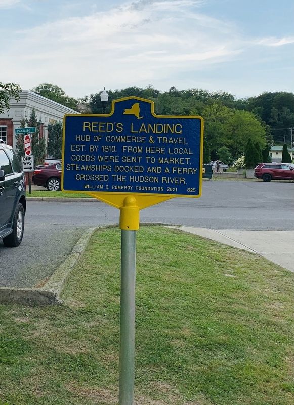
Reedís Landing
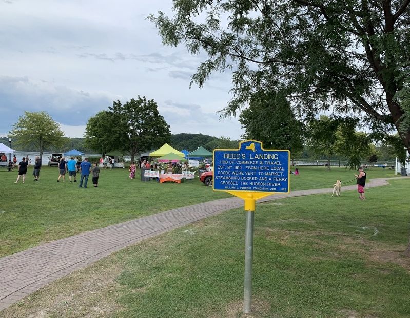
Hub of commerce & travel est. by 1810. From here local goods were sent to market, steamships docked and a ferry crossed the Hudson River.
Erected 2021 by William G. Pomeroy Foundation. (Marker Number 825.)
Topics. This historical marker is listed in these topic lists: Industry & Commerce • Settlements & Settlers • Waterways & Vessels. A significant historical year for this entry is 1810.
Location. 42° 21.144′ N, 73° 47.747′ W. Marker is in Coxsackie, New York, in Greene County. Marker is on Pantaleo Place near River Street, on the right when traveling north. Located in in River Front Park. Touch for map. Marker is in this post office area: Coxsackie NY 12051, United States of America. Touch for directions.
Other nearby markers. At least 8 other markers are within walking distance of this marker. In Memory (within shouting distance of this marker); Heermance Library (about 500 feet away, measured in a direct line); ďFirst House On The HillĒ (approx. 0.2 miles away); Honor Roll (approx. half a mile away); Harvesters of Winter Cold (approx. half a mile away); George H. Scott (approx. 0.7 miles away); Nutten Hooke (approx. 0.7 miles away); Newton Hook (approx. 0.7 miles away). Touch for a list and map of all markers in Coxsackie.
Credits. This page was last revised on August 9, 2021. It was originally submitted on August 4, 2021, by Steve Stoessel of Niskayuna, New York. This page has been viewed 184 times since then and 20 times this year. Last updated on August 8, 2021, by Steve Stoessel of Niskayuna, New York. Photos: 1, 2. submitted on August 4, 2021, by Steve Stoessel of Niskayuna, New York. • Bill Pfingsten was the editor who published this page.

