Bluestone State Park in Summers County, West Virginia — The American South (Appalachia)
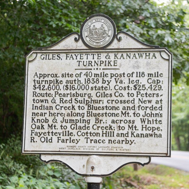
Giles, Fayette & Kanawha Turnpike
Photographed by J. J. Prats, July 25, 2021
1. Giles, Fayette & Kanawha Turnpike Marker
Erected by Summers County Historic Landmark Commission, and West Virginia Division of Culture and History.
Topics. This historical marker is listed in this topic list: Roads & Vehicles. A significant historical year for this entry is 1838.
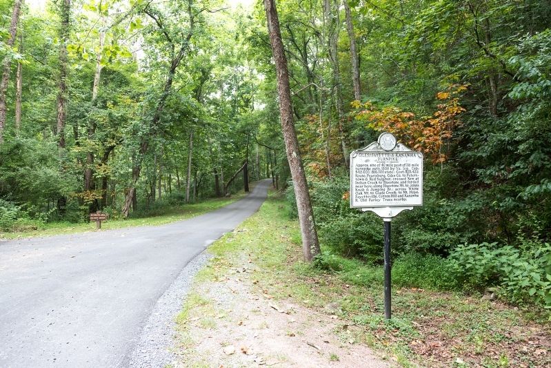
Location. 37° 36.904′ N, 80° 56.256′ W. Marker is in Bluestone State Park, West Virginia, in Summers County. It is at the intersection of Superintendent Drive and Lower Park Drive, on the right on Superintendent Drive. It is in Bluestone State Park, 2.5 miles from its main entrance at State Route 20. Touch for map. Marker is in this post office area: Hinton WV 25951, United States of America. Touch for directions.

Regionally, this
this page online
Other nearby markers. At least 8 other markers are within 4 miles of this marker, measured as the crow flies: Pack's Ferry (approx. 1.1 miles away); Lilly Bridge (approx. 1.1 miles away); Follow the River to Freedom (approx. 1.1 miles away); Lilly (approx. 1.2 miles away); Camp Green Meadows / The Burning of Jumping Branch (approx. 2.8 miles away); Status of Construction (approx. 3.3 miles away); Home of Jack Warhop (approx. 3.6 miles away); Fort Culbertson (approx. 4 miles away).
Also see . . . March 1, 1837: Giles Fayette & Kanawha Turnpike Company Formed. “This Week in West Virginia History” segment. To minute audio plus transcription. Excerpt:
It was a valuable trade route and became strategically important during the Civil War. Traveled by Union and Confederate(Submitted on August 9, 2021.)troops, the Giles, Fayette & Kanawha was a focus of Confederate efforts in September 1862, in coordination with Robert E. Lee’s invasion of Maryland. On September 10, Union troops under General Joseph Lightburn were routed in Fayetteville and driven back to Charleston.Photographed by J. J. Prats, July 25, 20212. Giles, Fayette & Kanawha Turnpike Marker
Credits. This page was last revised on May 14, 2022. It was originally submitted on August 9, 2021, by J. J. Prats of Powell, Ohio. This page has been viewed 836 times since then and 81 times this year. Photos: 1, 2. submitted on August 9, 2021, by J. J. Prats of Powell, Ohio.
