Olney in Montgomery County, Maryland — The American Northeast (Mid-Atlantic)
Olney
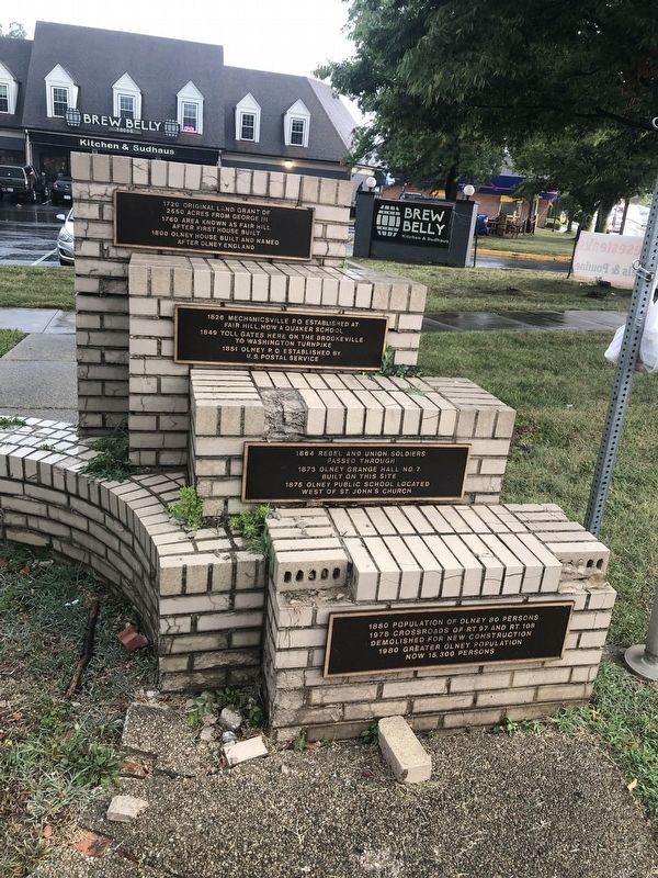
1720: Original land grant of 2550 acres from George III
1760: Area known as Fair Hill after first house built
1800: Olney House built and named after Olney England
1826: Mechanicsville P.O. established at Fair Hill, now a Quaker school
1849: Toll gates here on the Brookeville to Washington Turnpike
1851: Olney P.O. established by U.S. Postal Service
1864: Rebel and Union soldiers passed through
1873: Olney Grange Hall No. 7 built on this site
1875: Olney Public School located west of St. John's Church
1880: Population of Olney 80 persons
1978: Crossroads of Rt. 97 and Rt. 108 demolished for new construction
1980: Greater Olney population now 15,300 persons
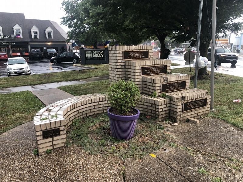
Erected by Olney Rotary Club.
Topics and series. This historical marker is listed in these topic lists: Communications • Roads & Vehicles • Settlements & Settlers • War, US Civil. In addition, it is included in the Postal Mail and Philately, the Quakerism, and the Rotary International series lists. A significant historical year for this entry is 1720.
Location. 39° 9.171′ N, 77° 3.996′ W. Marker is in Olney, Maryland, in Montgomery County. Marker is at the intersection of Olney-Sandy Spring Road (Maryland Route 108) and Georgia Avenue (Maryland Route 97), on the right when traveling east on Olney-Sandy Spring Road. Touch for map. Marker is at or near this postal address: 17901 Georgia Ave, Olney MD 20832, United States of America. Touch for directions.
Other nearby markers. At least 8 other markers are within 2 miles of this marker, measured as the crow flies. Olney House (about 300 feet away, measured in a direct line); Springhouse (about 500 feet away); Higgins Tavern (approx. 1.4 miles away); Mutual Memorial Cemetery (approx. 1.8 miles away); Town of Brookeville (approx. 1.8 miles away); Oakley Cabin (approx. 1.8 miles away); Out of Africa (approx. 1.8 miles away); In Everlasting Memory of the Anguish of Our Ancestors (approx. 1.8 miles away). Touch for a list and map of all markers in Olney.
Credits. This page was last revised on August 10, 2021. It was originally submitted on August 10, 2021, by Devry Becker Jones of Washington, District of Columbia. This page has been viewed 156 times since then and 22 times this year. Photos: 1, 2. submitted on August 10, 2021, by Devry Becker Jones of Washington, District of Columbia.

