Vermillion in Clay County, South Dakota — The American Midwest (Upper Plains)
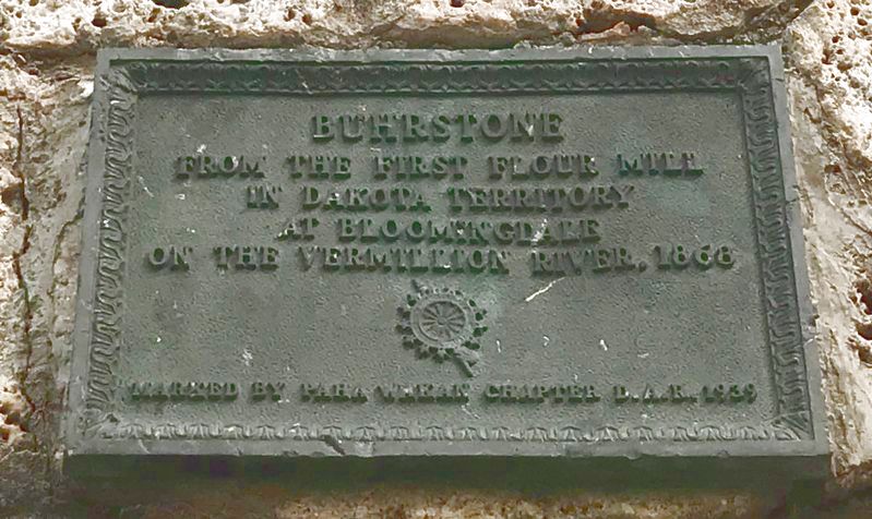
Buhrstone
August 8, 2021
1. Buhrstone Marker
at Bloomingdale on the Vermillion River, 1868
Erected 1939 by Paha Wakan Chapter D.A.R.
Topics and series. This historical marker is listed in these topic lists: Industry & Commerce • Waterways & Vessels. In addition, it is included in the Daughters of the American Revolution (DAR) series list. A significant historical year for this entry is 1868.
Location. 42° 46.773′ N, 96° 55.108′ W. Marker is in Vermillion, South Dakota, in Clay County. It is on East Main Street one mile south of State Route 50, on the right when traveling west. Located in the bandshell on the south side of Prentis Park. Touch for map. Marker is in this post office area: Vermillion SD 57069, United States of America. Touch for directions.

Regionally, this marker is in East River. It is also in the American Lewis & Clark Corridor, on the prairies, and on the Northern Plains. Globally, it is in North America, the Western Hemisphere, the Western World, and the Anglosphere. Historically, it finds itself in what was once Rupert’s Land and also the Louisiana Purchase.
Other nearby markers. At
this page online
August 8, 2021
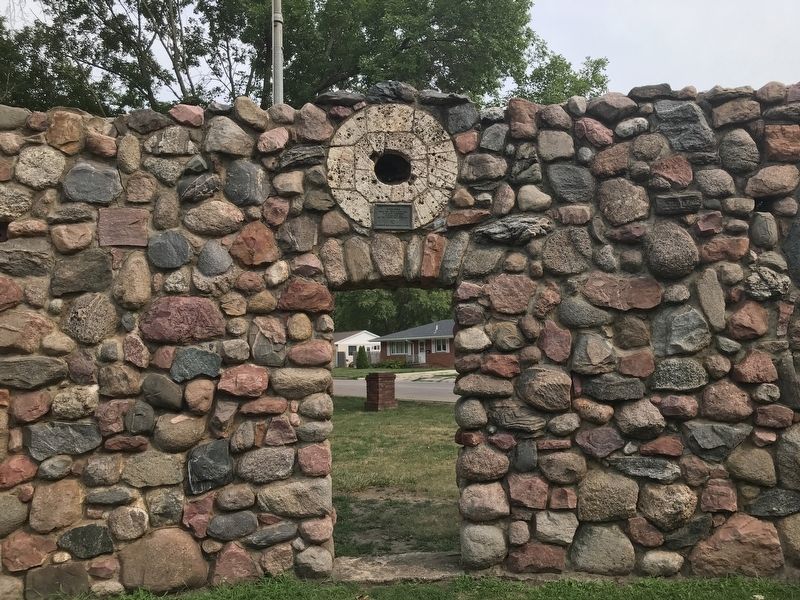
2. Buhrstone & Marker
August 8, 2021
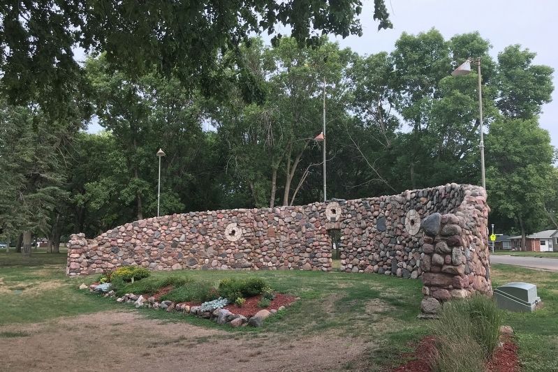
3. Buhrstone Embedded in Bandshell at Prentis Park
Credits. This page was last revised on August 14, 2021. It was originally submitted on August 11, 2021. This page has been viewed 445 times since then and 38 times this year. Photos: 1, 2, 3. submitted on August 11, 2021. • Mark Hilton was the editor who published this page.
