Lincoln City in Spencer County, Indiana — The American Midwest (Great Lakes)
Dogwood Tree
Cornus Florida
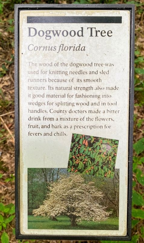
Photographed by Shane Oliver, June 25, 2021
1. Dogwood Tree Marker
Erected by National Park Service, U.S. Department of the Interior.
Topics. This historical marker is listed in these topic lists: Horticulture & Forestry • Industry & Commerce • Science & Medicine.
Location. 38° 7.524′ N, 86° 59.661′ W. Marker is in Lincoln City, Indiana, in Spencer County. It is on Boyhood Nature Trail, on the right when traveling east. Touch for map. Marker is at or near this postal address: 2926 E McAlpine St, Lincoln City IN 47552, United States of America. Touch for directions.

Regionally, this marker is in the Tri-State Region and in Southern Indiana. It is also in the American Midwest, in the Ohio River Valley, and in the Corn Belt. Globally, it is in North America, the Western Hemisphere, the Western World, and the Anglosphere. Historically, it finds itself in what was once the territory of the Mississippian Culture and also the Northwest Territory.
Other nearby markers. At least 8 other markers are within walking distance of this marker: Sweetgum Tree (about 600 feet away, measured in a direct line); Snakeroot (approx. 0.2 miles away); Sassafras (approx. ¼ mile away); Boyhood Nature Trail (approx. 0.3 miles away); Persimmon Tree (approx. 0.3 miles away); Lincoln Boyhood Trails (approx. 0.3 miles away); Barn (approx. 0.4 miles away); Chicken Coop (approx. 0.4 miles away). Touch for a list and map of all markers in Lincoln City.
this page online
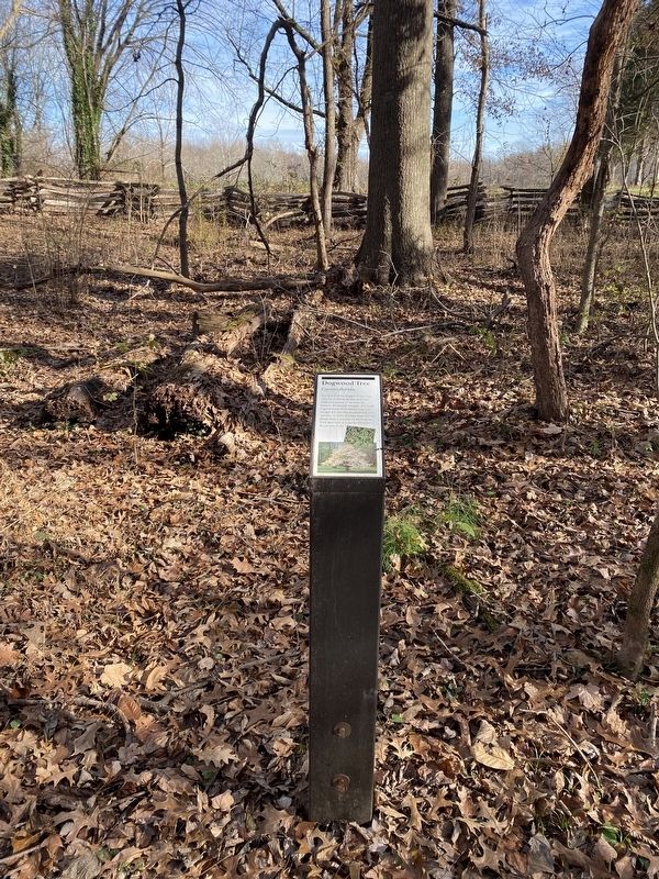
Photographed by Shane Oliver, November 27, 2021
2. Dogwood Tree Marker
Credits. This page was last revised on November 30, 2021. It was originally submitted on August 12, 2021, by Shane Oliver of Richmond, Virginia. This page has been viewed 209 times since then and 13 times this year. Photos: 1. submitted on August 12, 2021, by Shane Oliver of Richmond, Virginia. 2. submitted on November 27, 2021, by Shane Oliver of Richmond, Virginia. • Devry Becker Jones was the editor who published this page.
