Charleston in Kanawha County, West Virginia — The American South (Appalachia)
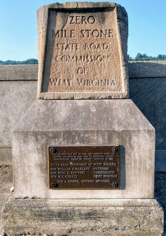
Zero Mile Stone
State Road Commission of West Virginia
State Roads Commission of West Virginia
Hon. William C. Marland - Governor
Hon. Burl A. Sawyers - Commissioner
Hon. M.L. O’Neale - Chief Engineer
Jos A Spence - District Engineer
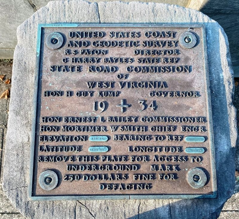
R.S. Paton - Director
G. Harry Bayles - State Rep
State Road Commission of West Virginia
Hon H. Guy Kump - Governor
19 + 34
Hon Ernest L. Bailey - Commissioner
Hon Mortimer W. Smith - Chief Engr
Elevation 600 ft Bearing to Ref —————
Latitude 38°20’07” Longitude 81°36’46”
Remove this plate for access to underground mark
250 dollars fine for defacing
Erected 1934 by United States Coast and Geodetic Survey.
Topics. This historical marker is listed in these topic lists: Exploration • Roads & Vehicles. A significant historical year for this entry is 1934.
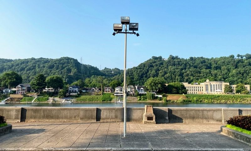
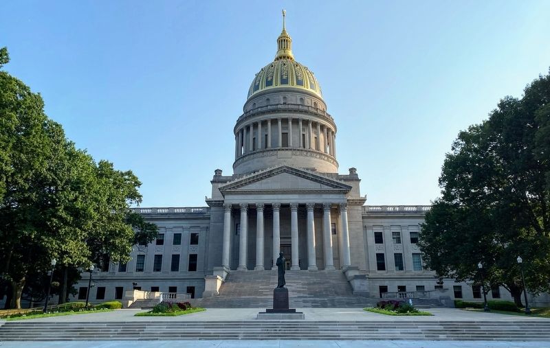
Location. 38° 20.121′ N, 81° 36.765′ W. Marker is in Charleston, West Virginia, in Kanawha County. Marker is on Kanawha Boulevard East (U.S. 60) 0.1 miles east of Greenbrier Street (U.S. 60), on the right when traveling east. The marker is located directly across Kanawha Boulevard East from the West Virginia State Capitol. Touch for map. Marker is in this post office area: Charleston WV 25305, United States of America. Touch for directions.
Other nearby markers. At least 8 other markers are within walking distance of this marker. Abraham Lincoln (here, next to this marker); State Capitol (within shouting distance of this marker); Abraham Lincoln Walks At Midnight (within shouting distance of this marker); The New Deal In Your Community (about 400 feet away, measured in a direct line); Union Civil War Monument (about 400 feet away); The Restoration Chestnut (about 400 feet away); Thomas J. Jackson (about 400 feet away); Executive Mansion (about 700 feet away). Touch for a list and map of all markers in Charleston.
More about this marker. This stone monument once marked the location where all points and distances in the State of West Virginia were measured from.
Credits. This page was last revised on August 12, 2021. It was originally submitted on August 12, 2021, by Shane Oliver of Richmond, Virginia. This page has been viewed 493 times since then and 65 times this year. Photos: 1, 2, 3, 4. submitted on August 12, 2021, by Shane Oliver of Richmond, Virginia. • Devry Becker Jones was the editor who published this page.


