Imperial in Jefferson County, Missouri — The American Midwest (Upper Plains)
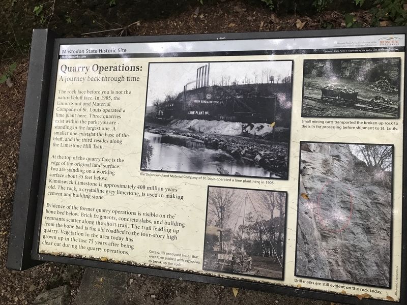
Quarry Operations
A journey back through time
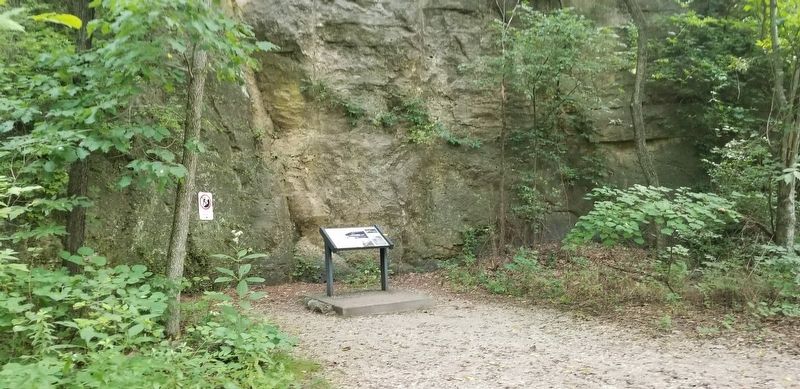
The rock face before you is not the natural bluff face. In 1905, the Union Sand and Material Company of St. Louis operated a lime plant here. Three quarries exist within the park; you are standing in the largest one. A smaller one exists at the base of the bluff, and the third resides along the Limestone Hill Trail.
At the top of the quarry face is the edge of the original land surface. You are standing on a working surface about 35 feet below. Kimmswick Limestone is approximately 400 million old. The rock, a crystalline grey limestone, is used in making cement and building stone.
Evidence of the former quarry operations is visible on the bone bed below. Brick fragments, concrete slabs, and building remnants scatter along the short trail. The trail leading up from the bone bed is the old roadbed to the four-story high quarry. Vegetation in the area today has grown up in the last 75 years after being clear cut during the quarry operations.
Erected by Missouri State Parks.
Topics. This historical marker is listed in these topic lists: Industry & Commerce • Natural Features • Natural Resources • Parks & Recreational Areas.
Location. 38° 22.721′ N, 90° 23.042′ W. Marker is in Imperial, Missouri, in Jefferson County. Marker can be reached from Charles J. Becker Drive, half a mile West Outer Road. Touch for map. Marker is at or near this postal address: 1050 Charles J Becker Drive, Imperial MO 63052, United States of America. Touch for directions.
Other nearby markers. At least 8 other markers are within 4 miles of this marker, measured as the crow flies. Kimmswick Bone Bed (within shouting distance of this marker); Excavating the Bones (within shouting distance of this marker); Bring Us Home (approx. 0.9 miles away); Flame of Freedom (approx. 0.9 miles away); El Camino Real (approx. 1.3 miles away); Windsor Harbor Road Bridge (approx. 1˝ miles away); Welcome to Sulphur Springs Landing (approx. 3 miles away); POW * MIA (approx. 3.8 miles away). Touch for a list and map of all markers in Imperial.
More about this marker. Located in the Mastodon State Park of Missouri on the "Wildflower Trail". Rugged terrain but the trail is an easy/moderate hike. Lots of stairways to get to this site. Hiking trails are free, admission charged for the museum area.
Credits. This page was last revised on January 31, 2022. It was originally submitted on August 13, 2021, by Cajun Scrambler of Assumption, Louisiana. This page has been viewed 197 times since then and 32 times this year. Photos: 1, 2. submitted on August 13, 2021, by Cajun Scrambler of Assumption, Louisiana.

