Port Townsend in Jefferson County, Washington — The American West (Northwest)
Crimping
Hidden History
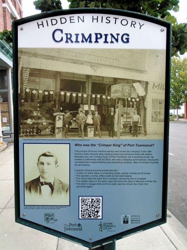
Who was the "Crimper King" of Port Townsend?
The practice of forced maritime service was known as "crimping" in the 19th Century. Early fortunes were made provisioning out-bound ships with sailors. Maxwell Levy, the "Crimper King" of Port Townsend, ran a boarding house. He worked in partnership with Ed Sims, who was a shipping commissioner. Among the commissioner's responsibilities was preventing crimping. Tales of crimper's tunnels are all hearsay.
A typical crimping scheme worked like this:
• A sailor on leave stays in a boarding house, quickly running out of money
• The operator, a crimp, offers credit on food and lodging
• The crimp helps the sailor find a contract, introducing him to a captain
• The captain signs on the sailor, pays the crimp the sailor's debt plus a finder fee
• The sailor's voyage ends and he is paid, less the crimp's fee. Soon he's penniless again.
[Photo captions read]
• Maxwell Levy (left) in 1889 with business partner Ed Newman (right of little girl)
• Edgar Sims, partner of Max Levy and later a state legislator for whom Sims Way is named, circa 1895
Erected 2021 by Main Street Port Townsend, City of Port Townsend, Olympic Peninsula Steam, and Jefferson County Historical Society.
Topics and series. This historical marker is listed in this topic list: Notable Events. In addition, it is included in the Washington, Port Townsend, Hidden History series list. A significant historical year for this entry is 1889.
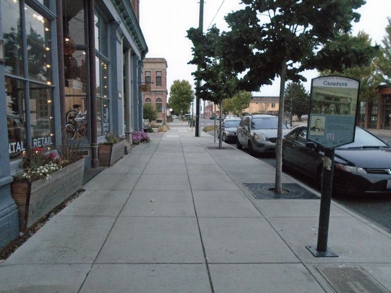
Location. 48° 6.933′ N, 122° 45.242′ W. Marker is in Port Townsend, Washington, in Jefferson County. Marker is on Water Street east of Quincy Street, on the left when traveling east. Touch for map. Marker is at or near this postal address: 630 Water Street, Port Townsend WA 98368, United States of America. Touch for directions.
Other nearby markers. At least 8 other markers are within walking distance of this marker. Fire! (within shouting distance of this marker); Port Townsend City Hall (within shouting distance of this marker); Historic City Hall (within shouting distance of this marker); Village at Memorial Field (about 300 feet away, measured in a direct line); U.S.S. Marvin Shields (DE-1066) (about 300 feet away); Jefferson County Memorial Athletic Field (about 300 feet away); Marvin Glenn Shields (about 300 feet away); Preservation (about 300 feet away). Touch for a list and map of all markers in Port Townsend.
Also see . . .
1. Port Townsend's Hidden History. PT History website entry (Submitted on August 13, 2021, by William Fischer, Jr. of Scranton, Pennsylvania.)
2. The Port Townsend Main Street Program. Program website homepage (Submitted on August 13, 2021, by William Fischer, Jr. of Scranton, Pennsylvania.)
Credits. This page was last revised on December 2, 2021. It was originally submitted on August 13, 2021, by William Fischer, Jr. of Scranton, Pennsylvania. This page has been viewed 215 times since then and 29 times this year. Photos: 1, 2. submitted on August 13, 2021, by William Fischer, Jr. of Scranton, Pennsylvania.

