
Port Townsend in Jefferson County, Washington — The American West (Northwest)
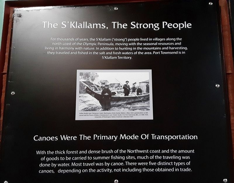
The S'Klallams, The Strong People
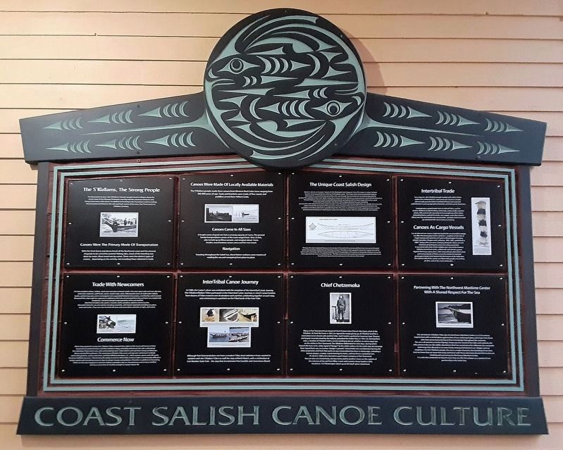
Coast Salish Canoe Culture
Photographed by William Fischer, Jr., August 1, 2021
1. The S'Klallams, The Strong People Marker
Canoes Were The Primary Mode Of Transportation
With the thick forest and dense brush of the Northwest coast and the amount of goods to be carried to summer fishing sites, much of the traveling was done by water. Most travel was by canoe. There were five distinct types of canoes, depending on the activity, not including those obtained in trade.
[Photo caption reads]
Indian family near Chimacum Creek, Washington [Hicks famkly, Klallam, Lillian Hicks' grandmother on left: canoe built by Prince of Wales, (Chetzesnoka's son).
Erected by Jamestown S'Klallam Tribe and Northwest Maritime Center.
Topics. This historical marker is listed in these topic lists: Indigenous Peoples and Communities • Waterways & Vessels.
Location. 48° 6.967′ N,
this page online

Regionally, this marker is in Washington’s Olympic Peninsula. It is also on the American Pacific Coast, in the Pacific Northwest, and in the Lewis & Clark Corridor. Globally, it is in North America, the Pacific Rim, the Western Hemisphere, the Western World, and the Anglosphere.
Other nearby markers. At least 8 other markers are within walking distance of this marker: Canoes Were Made Of Locally Available Materials (here, next to this marker); The Unique Coast Salish Design (here, next to this marker); Intertribal Trade (here, next to this marker); Trade With Newcomers (here, next to this marker); InterTribal Canoe Journey (here, next to this marker); Chief Chetzemoka (here, next to this marker); Partnering With The Northwest Maritime Center With A Shared Respect For The Sea
Photographed by William Fischer, Jr., August 1, 2021
2. Coast Salish Canoe Culture Markers
Also see . . .
1. Port Gamble S'Klallam Tribe. (Submitted on August 13, 2021, by William Fischer, Jr. of Reynoldsburg, Ohio.)
2. čičməhán Trail (Jamestown S'Klallam Tribe). (Submitted on August 13, 2021, by William Fischer, Jr. of Reynoldsburg, Ohio.)
3. Coast Salish Canoe Construction. (Submitted on August 13, 2021, by William Fischer, Jr. of Reynoldsburg, Ohio.)
4. Northwest Maritime Center. (Submitted on August 13, 2021, by William Fischer, Jr. of Reynoldsburg, Ohio.)
Photographed by William Fischer, Jr., August 1, 2021
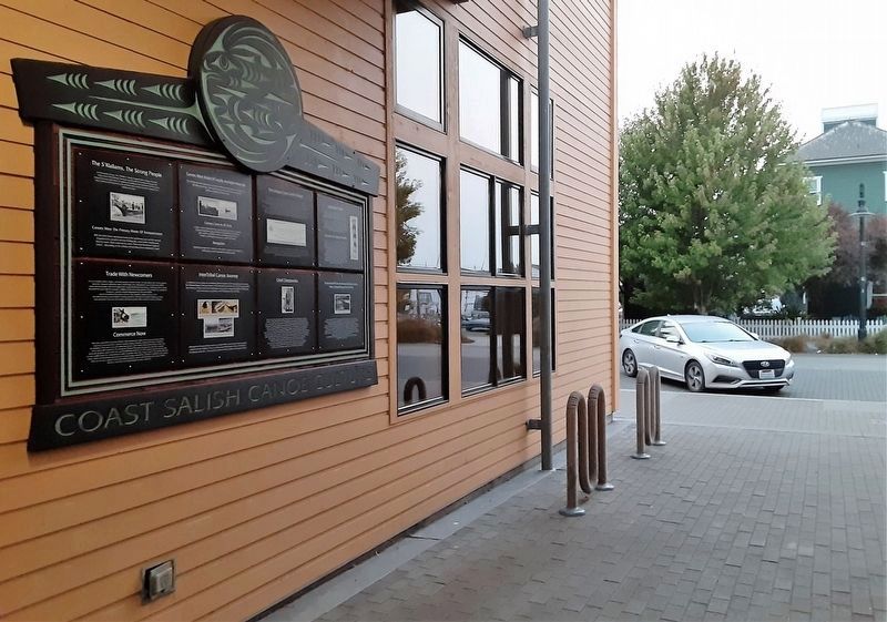
3. Coast Salish Canoe Culture Markers
Credits. This page was last revised on August 14, 2021. It was originally submitted on August 13, 2021, by William Fischer, Jr. of Reynoldsburg, Ohio. This page has been viewed 317 times since then and 20 times this year. Photos: 1, 2, 3. submitted on August 13, 2021, by William Fischer, Jr. of Reynoldsburg, Ohio.
