
Port Townsend in Jefferson County, Washington — The American West (Northwest)
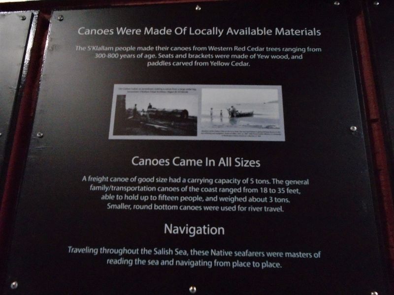
Canoes Were Made Of Locally Available Materials
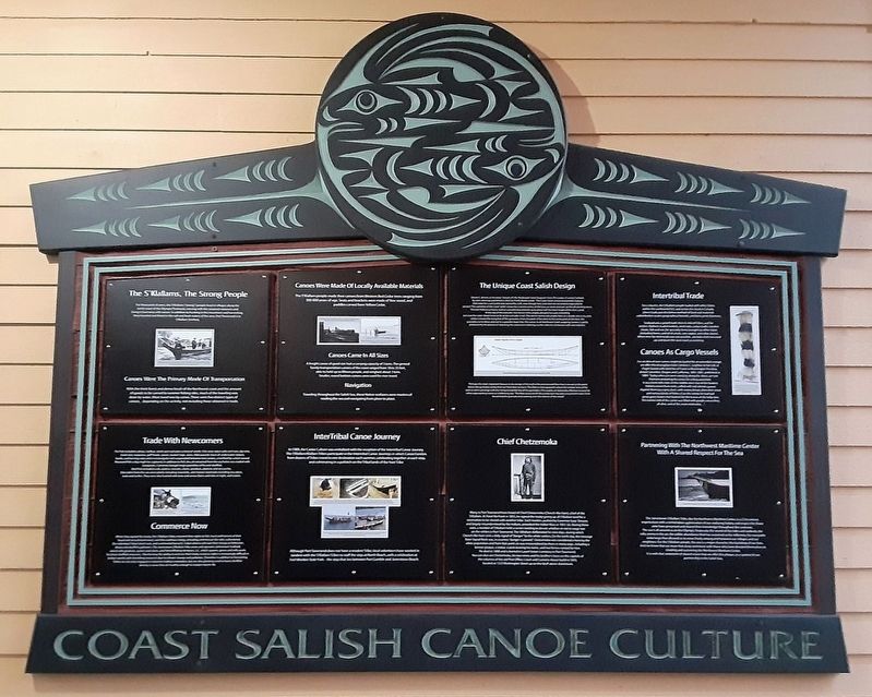
Coast Salish Canoe Culture
Photographed by William Fischer, Jr., August 1, 2021
1. Canoes Were Made Of Locally Available Materials Marker
Canoes Came In All Sizes
A freight canoe of good size had a carrying capacity of 5 tons. The general family/transportation canoes of the coast ranged from 18 to 35 feet, able to hold up to fifteen people, and weighed about 3 tons. Smaller, round bottom canoes were used for river travel.
Navigation
Traveling throughout the Salish Sea, these Native seafarers were masters of reading the sea and navigating from place to place.
[Photo captions not legible in photo]
Erected by Jamestown S'Klallam Tribe and Northwest Maritime Center.
Topics. This historical marker is listed in these topic lists: Indigenous Peoples and Communities • Waterways & Vessels.
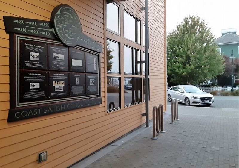
Location. 48° 6.967′ N, 122° 45.115′ W. Marker is in Port Townsend, Washington, in Jefferson County. It is on Water Street east of Monroe Street, on the right when traveling east. Marker is in the passageway at the Northwest Maritime
this page online

Regionally, this marker is in Washington’s Olympic Peninsula. It is also on the American Pacific Coast, in the Pacific Northwest, and in the Lewis & Clark Corridor. Globally, it is in North America, the Pacific Rim, the Western Hemisphere, the Western World, and the Anglosphere.
Other nearby markers. At least 8 other markers are within walking distance of this marker: The S'Klallams, The Strong People (here, next to this marker); The Unique Coast Salish Design (here, next to this marker); Intertribal Trade (here, next to this marker); Trade With Newcomers (here, next to this marker); InterTribal Canoe Journey (here, next to this marker); Chief Chetzemoka (here, next to this marker); Partnering With The Northwest Maritime Center With A Shared Respect For The Sea (here, next to this marker); Honoring Eleanor Stopps (a few steps from this marker). Touch for a list and map of all markers in Port Townsend.
Also see . . .
1. Coast Salish Canoe Construction.
Photographed by William Fischer, Jr., August 1, 2021
2. Coast Salish Canoe Culture Markers
2. Northwest Maritime Center. Website homepage (Submitted on August 13, 2021, by William Fischer, Jr. of Reynoldsburg, Ohio.)
Photographed by William Fischer, Jr., August 1, 2021
3. Coast Salish Canoe Culture Markers
Credits. This page was last revised on October 11, 2022. It was originally submitted on August 13, 2021, by William Fischer, Jr. of Reynoldsburg, Ohio. This page has been viewed 242 times since then and 13 times this year. Photos: 1, 2, 3. submitted on August 13, 2021, by William Fischer, Jr. of Reynoldsburg, Ohio.
