Jerry Run in Webster County, West Virginia — The American South (Appalachia)
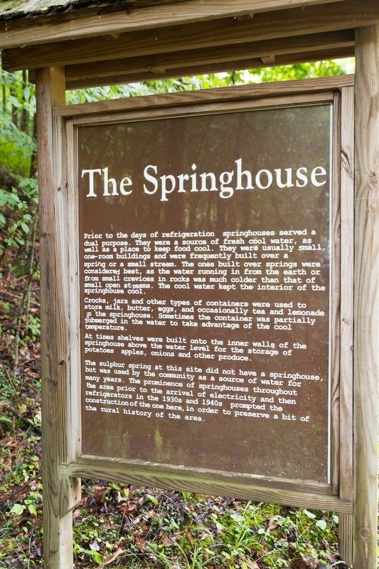
The Springhouse
Photographed by J. J. Prats, July 26, 2021
1. The Springhouse Marker
Crocks, jars and other types of containers were used to store milk, butter, eggs, and occasionally tea and lemonade in the springhouse. Sometimes the container was partially submerged in the water to take advantage of the cool temperature. At times shelves were built onto the inner walls of the springhouse above the water level for the storage of potatoes, apples, onions, and other produce.
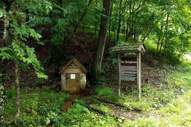
The sulphur spring at this site did not have a springhouse, but was used by the community as a source of water for many years. The prominence of springhouses throughout the area prior to the arrival of electricity and then refrigerators in the 1930s and 1940s prompted the construction of the one here, in order to preserve a bit of the rural history of the area.
Topics. This historical marker is listed in these topic lists: Natural Features • Natural Resources.
Location. 38° 41.054′ N, 80° 22.75′ W. Marker is in Jerry Run, West Virginia, in Webster County. It can be reached from Mountain Parkway (Route 20) south of Panther Lick Road (Local Route 20/2), on the left when traveling north. It is at the Old Sulphur Spring Rest Stop near Jerry Run Summer Theater. Touch for map. Marker is at or near this postal address: 824 Cleveland Road, Hacker Valley WV 26222, United States of America. Touch for directions.

Regionally,
this page online
Other nearby markers. At least 8 other markers are within 10 miles of this marker, measured as the crow flies: Old Sulphur Spring (within shouting distance of this marker); Hacker Valley (approx. 2.2 miles away); Cleveland (approx. 3 miles away); Webster County / Upshur County (approx. 3.2 miles away); Fort Pickens / Engagements of Co. A (approx. 7.4 miles away); Walter Cool (approx. 7.7 miles away); Lewis County / Braxton County (approx. 9.7 miles away); Helvetia (approx. 9.7 miles away).
Photographed by J. J. Prats, July 26, 2021
2. Old Sulphur Spring Springhouse and Marker
Photographed by J. J. Prats, July 26, 2021
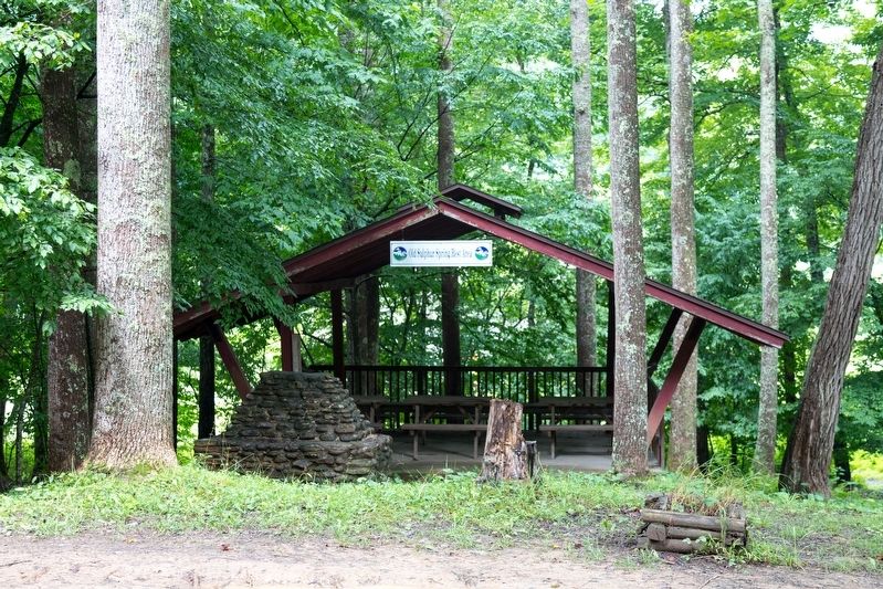
3. Old Sulphur Spring Rest Area Picnic Shelter
It is across from the springhouse.
Credits. This page was last revised on August 14, 2021. It was originally submitted on August 14, 2021, by J. J. Prats of Powell, Ohio. This page has been viewed 452 times since then and 43 times this year. Photos: 1, 2, 3. submitted on August 14, 2021, by J. J. Prats of Powell, Ohio.
