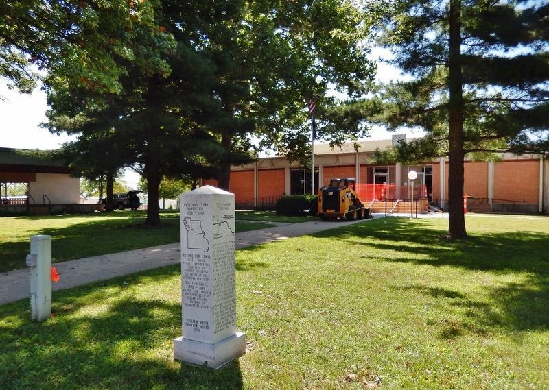
Oregon in Holt County, Missouri — The American Midwest (Upper Plains)
Louisiana Purchase / Lewis and Clark Expedition / They Passed This Way / Old Trail Road
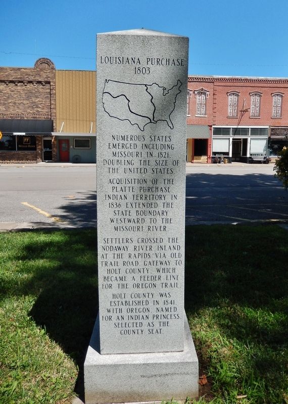
1803
Acquisition of the Platte Purchase Indian Territory in 1836 extended the State boundary westward to the Missouri River.
Settlers crossed the Nodaway River inland at the rapids via Old Trail Road Gateway to Holt County, which became a feeder line for the Oregon Trail.
Holt County was established in 1841, with Oregon, named for an Indian princess, selected as the county seat.
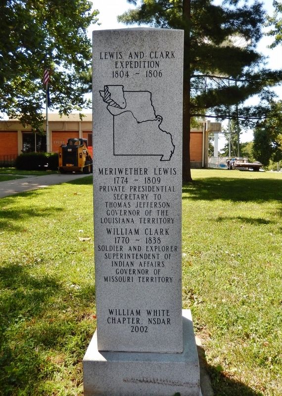
1804-1806
Meriwether Lewis
1774-1809
Private Presidential Secretary to Thomas Jefferson
Governor of the Louisiana Territory
William Clark
1770-1838
Soldier and Explorer
Superintendent of Indian Affairs
Governor of Missouri Territory
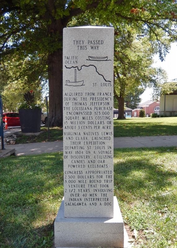
They Passed This Way
Virginia natives Lewis and Clark, launched their expedition departing St. Louis in May 1804 on a voyage of discovery, utilizing canoes and oar powered keelboats.
Congress appropriated 2,500 dollars for the 8,000 mile round trip venture that took two-and-a-half years, involving over 40 men, the Indian interpreter Sacagawea and a dog.
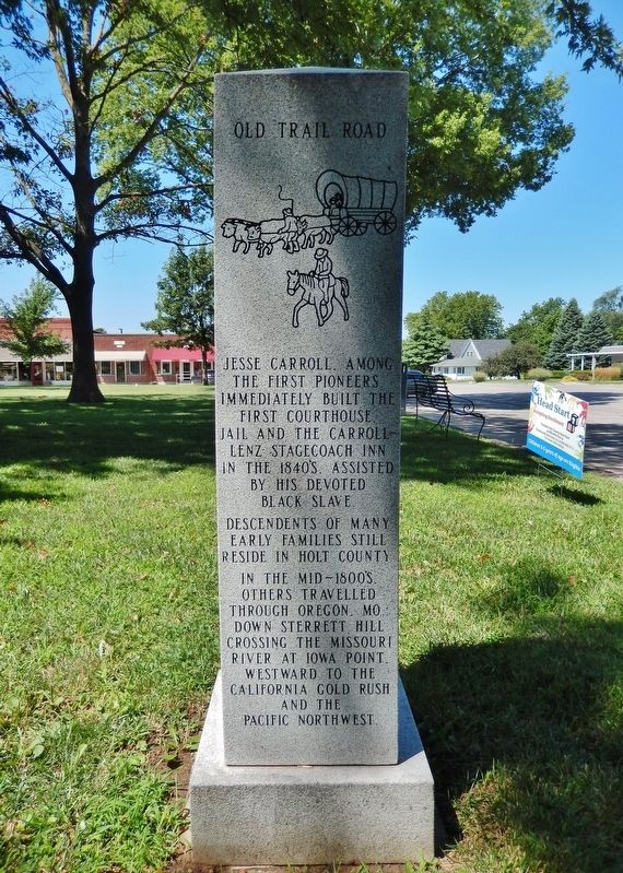
Descendents of many early families still reside in Holt County.
In the mid-1800's others travelled through Oregon, MO., down Sterrett Hill crossing the Missouri River at Iowa Point, westward to the California Gold Rush and the Pacific Northwest.
Erected 2002 by William White Chapter, National Society Daughters of the American Revolution.
Topics and series. This historical marker is listed in these topic lists: Exploration • Roads & Vehicles • Settlements & Settlers • Waterways & Vessels. In addition, it is included in the Daughters of the American Revolution, and the Lewis & Clark Expedition series lists.
Location. 39° 59.221′ N, 95° 8.648′ W. Marker is in Oregon, Missouri, in Holt County. Marker is on West Nodaway Street (Missouri Route 111) just east of South Washington Street, on the right when traveling east. Marker is located near the sidewalk, directly in front of the Holt County Courthouse. Touch for map. Marker is at or near this postal address: 100 West Nodaway Street, Oregon MO 64473, United States of America. Touch for directions.
Other nearby markers. At least 8 other markers are within 10 miles of this marker, measured as the crow flies. Holt County (a few steps from this marker); "abounds with Beaver" (approx. 7.6 miles away in Kansas); Homeland of the Kanza Indians (approx. 8 miles away in Kansas); "the water…contains a half…Glass of ooze" (approx. 8 miles away in Kansas); The Lewis and Clark Expedition (approx. 8 miles away in Kansas); July 10, 1804 (approx. 8 miles away in Kansas); Wilbur Chapman (approx. 8.1 miles away in Kansas); The Highland Presbyterian Mission (approx. 9.6 miles away in Kansas).
More about this marker. This is a four-sided monument with a different historical inscription on each side, organized chronologically.
Credits. This page was last revised on August 14, 2021. It was originally submitted on August 14, 2021, by Cosmos Mariner of Cape Canaveral, Florida. This page has been viewed 270 times since then and 21 times this year. Photos: 1, 2, 3, 4, 5. submitted on August 14, 2021, by Cosmos Mariner of Cape Canaveral, Florida.
