Ellamore in Upshur County, West Virginia — The American South (Appalachia)
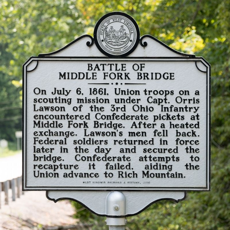
Battle of Middle Fork Bridge
Erected 2016 by West Virginia Archives & History.
Topics and series. This historical marker is listed in this topic list: War, US Civil. In addition, it is included in the West Virginia Archives and History series list. A significant historical date for this entry is July 6, 1861.
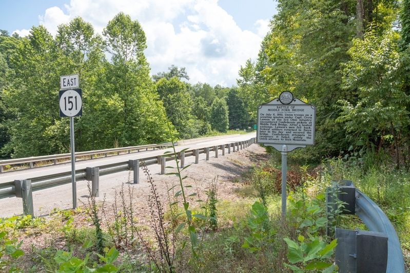
Location. 38° 55.121′ N, 80° 5.382′ W. Marker is in Ellamore, West Virginia, in Upshur County. Marker is at the intersection of Old Elkins Road (former U.S. 33) (West Virginia Route 151) and Burnt Bridge Road (County Route 28), on the right when traveling south on Old Elkins Road (former U.S. 33). Touch for map. Marker is in this post office area: Buckhannon WV 26201, United States of America. Touch for directions.
Other nearby markers. At least 8 other markers are within 8 miles of this marker, measured as the crow flies. Upshur County / Randolph County (about 500 feet away, measured in a direct line); Jimtown / Phillips Cemetery (approx. 4.8 miles away); Crawford Scott (approx. 6.7 miles away); Barbour County / Randolph County (approx. 7.1 miles away); General George B. McClellan (approx. 7.9 miles away); Camp Garnett (approx. 7.9 miles away); Staunton-Parkersburg Turnpike (approx. 8 miles away); Fortifications (approx. 8 miles away).
Credits. This page was last revised on August 15, 2021. It was originally submitted on August 15, 2021, by J. J. Prats of Powell, Ohio. This page has been viewed 229 times since then and 34 times this year. Photos: 1, 2. submitted on August 15, 2021, by J. J. Prats of Powell, Ohio.

