Donaldson in Trigg County, Kentucky — The American South (East South Central)
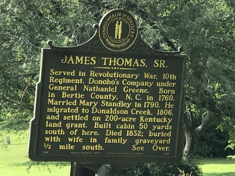
James Thomas, Sr.
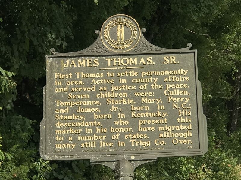
First Thomas to settle permanently in area. Active in county affairs and served as justice of the peace. Seven children were: Cullen, Temperance, Starkie, Mary, Perry and James, Jr., born in N. C.; Stanley, born in Kentucky. His descendants, who present this marker in his honor, have migrated to a number of states, although many still live in Trigg Co.
Erected 1970 by Kentucky Historical Society • Kentucky Department of Highways. (Marker Number 1375.)
Topics and series. This historical marker is listed in these topic lists: Cemeteries & Burial Sites • Settlements & Settlers • War, US Revolutionary. In addition, it is included in the Kentucky Historical Society series list. A significant historical year for this entry is 1806.
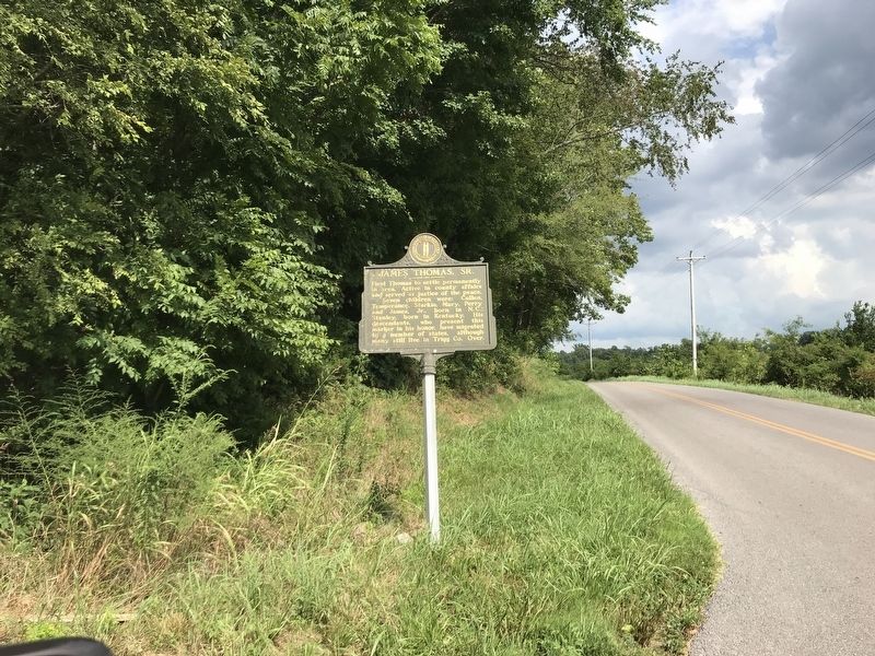
Location. 36° 45.152′ N, 87° 51.436′ W. Marker is in Donaldson, Kentucky, in Trigg County. Marker is at the intersection of Donaldson Creek Road (Kentucky Route 807) and Old Dover Road, on the right when traveling west on Donaldson Creek Road. Touch for map. Marker is in this post office area: Cadiz KY 42211, United States of America. Touch for directions.
Other nearby markers. At least 8 other markers are within 3 miles of this marker, measured as the crow flies. Peyton Thomas Cemetery (about 400 feet away, measured in a direct line); Upper Donaldson School (about 500 feet away); Perry Thomas (approx. 0.6 miles away); Thomas's Cabinet Shop / Thomas's Mill (approx. 1.3 miles away); James Thomas, Jr. (approx. 1˝ miles away); Donaldson Creek Baptist Church (approx. 1.6 miles away); Donaldson (approx. 2.1 miles away); Drury Bridges (Bridgers, Bridger) (approx. 2˝ miles away). Touch for a list and map of all markers in Donaldson.
Credits. This page was last revised on August 15, 2021. It was originally submitted on August 15, 2021, by Duane and Tracy Marsteller of Murfreesboro, Tennessee. This page has been viewed 195 times since then and 29 times this year. Photos: 1, 2, 3. submitted on August 15, 2021, by Duane and Tracy Marsteller of Murfreesboro, Tennessee.


