Maple Grove in Trigg County, Kentucky — The American South (East South Central)
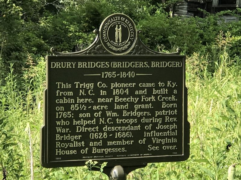
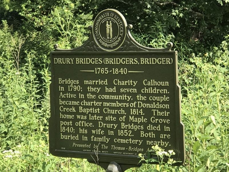
Drury Bridges (Bridgers, Bridger)
1765-1840
Inscription.
This Trigg Co. pioneer came to Ky. from N. C. in 1804 and built a cabin here, near Beechy Fork Creek, on 85˝ acre land grant. Born 1765; son of Wm. Bridgers, patriot who helped N.C. troops during Rev. War. Direct descendant of Joseph Bridger (1628-1686), influential Royalist and member of Virginia House of Burgesses.
Bridges married Charity Calhoun in 1790; they had seven children. Active in the community, the couple became charter members of Donaldson Creek Baptist Church, 1814. Their home was later site of Maple Grove post office. Drury Bridges died in 1840; his wife in 1852. Both are buried in family cemetery nearby.
Erected 1986 by Kentucky Historical Society • Kentucky Department of Highways. (Marker Number 1788.)
Topics and series. This historical marker is listed in these topic lists: Cemeteries & Burial Sites • Churches & Religion • Settlements & Settlers. In addition, it is included in the Kentucky Historical Society series list. A significant historical year for this entry is 1804.
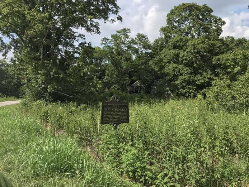
Location. 36° 46.359′ N, 87° 53.749′ W. Marker is in Maple Grove, Kentucky, in Trigg County. Marker is on Maple Grove Road (Kentucky Route 1062) 0.2 miles south of Beechy Fork Road, on the left when traveling south. Touch for map. Marker is in this post office area: Cadiz KY 42211, United States of America. Touch for directions.
Other nearby markers. At least 8 other markers are within 3 miles of this marker, measured as the crow flies. Maple Grove School (about 600 feet away, measured in a direct line); Lower Donaldson School (approx. 1˝ miles away); Donaldson (approx. 1˝ miles away); Donaldson Creek Baptist Church (approx. 1.6 miles away); James Thomas, Jr. (approx. 1.7 miles away); Thomas's Cabinet Shop / Thomas's Mill (approx. 1.7 miles away); Perry Thomas (approx. 2.1 miles away); Upper Donaldson School (approx. 2˝ miles away).
Credits. This page was last revised on August 15, 2021. It was originally submitted on August 15, 2021, by Duane and Tracy Marsteller of Murfreesboro, Tennessee. This page has been viewed 225 times since then and 20 times this year. Photos: 1, 2, 3. submitted on August 15, 2021, by Duane and Tracy Marsteller of Murfreesboro, Tennessee.


