Main/Military Plaza in San Antonio in Bexar County, Texas — The American South (West South Central)
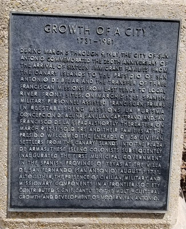
Growth of a City
1731 - 1981
During March 5 through 9, 1981, the City of San Antonio commemorated the 250th anniversary of the arrival of sixteen immigrant families from the Canary Islands to the Presidio of San Antonio de Bejar and the transfer of three Franciscan missions from East Texas to local river front sites. On March 5, 1731, Spanish military personnel assisted Franciscan friars in reestablishing missions la Purisma Concepcion de Acuna, San Juan Capistrano, and San Francisco de la Espada. Shortly thereafter, on March 9, 1731, soldiers and their families at the presidio welcomed the entrada of 56 civilian settlers from the Canary Islands into the Plaza de Armas. These Isleno colonists subsequently inaugurated the first municipal government in the Spanish Province of Texas at the Villa de San Fernando (San Antonio) August 1, 1731. Altogether, the presence of civilian, military, and missionary components in a frontier society contributed significantly to the multi-cultural growth and development of modern San Antonio.
Topics. This historical marker is listed in these topic lists: Colonial Era • Hispanic Americans • Settlements & Settlers. A significant historical date for this entry is March 5, 1981.
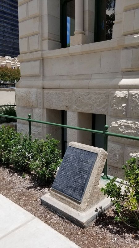
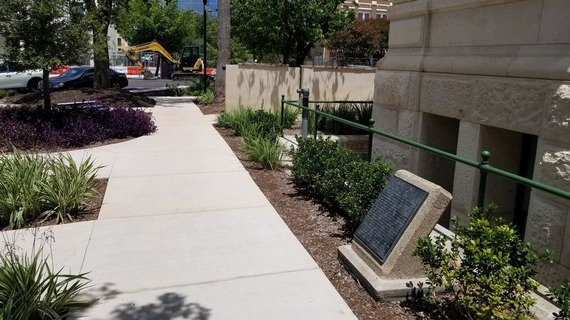
Location. 29° 25.494′ N, 98° 29.715′ W. Marker is in San Antonio, Texas, in Bexar County. It is in Main/Military Plaza. Marker is at the intersection of Dolorosa and Military Plaza on Dolorosa. The marker is located at the northwest corner of the City Hall building. Touch for map. Marker is at or near this postal address: 100 Military Plaza, San Antonio TX 78205, United States of America. Touch for directions.
Other nearby markers. At least 8 other markers are within walking distance of this marker. Moses Austin (a few steps from this marker); Zero Milestone Old Spanish Trail (within shouting distance of this marker); Spanish Governor's Palace (within shouting distance of this marker); Plaza de Armas (within shouting distance of this marker); Barbed Wire (within shouting distance of this marker); Flood of the Century (within shouting distance of this marker); Plaza de Armas: Center of Commerce and Government (about 300 feet away, measured in a direct line); The Buried Past is Never Lost (about 300 feet away). Touch for a list and map of all markers in San Antonio.
Credits. This page was last revised on February 2, 2023. It was originally submitted on August 15, 2021, by James Hulse of Medina, Texas. This page has been viewed 127 times since then and 8 times this year. Photos: 1, 2, 3. submitted on August 16, 2021, by James Hulse of Medina, Texas.


