Murray in Calloway County, Kentucky — The American South (East South Central)
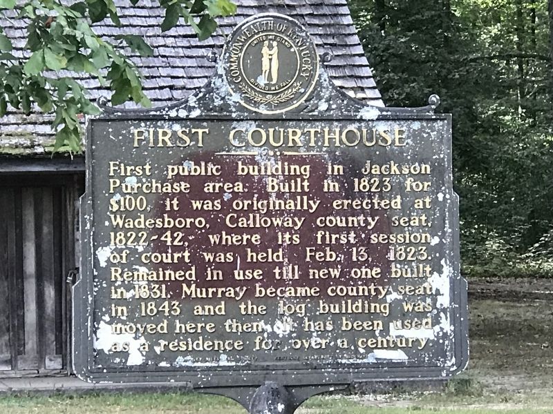
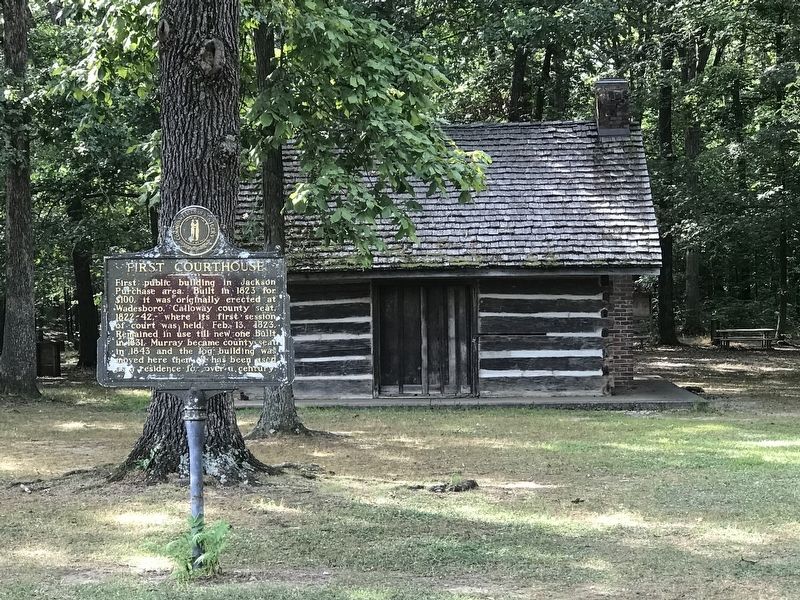
First Courthouse
Erected by Kentucky Historical Society • Kentucky Department of Highways. (Marker Number 1263.)
Topics and series. This historical marker is listed in these topic lists: Architecture • Law Enforcement. In addition, it is included in the Kentucky Historical Society series list. A significant historical date for this entry is February 13, 1823.
Location. 36° 37.369′ N, 88° 18.628′ W. Marker is in Murray, Kentucky, in Calloway County. Marker can be reached from Gil Hopson Drive (County Route 1084) 0.3 miles north of Arcadia Circle, on the left when traveling north. Marker located in Central Park. Touch for map. Marker is in this post office area: Murray KY 42071, United States of America. Touch for directions.
Other nearby markers. At least 8 other markers are within walking distance of this marker. Waters Schoolhouse (about 500 feet away, measured in a direct line); Stubblefield Birthplace (approx. ¾ mile away); Will Linn House (approx. 0.9 miles away); First Christian Church (approx. 0.9 miles away); Calloway County War Memorial (approx. one mile away); Confederate Memorial (Murray, Kentucky) (approx. one mile away); County Named, 1822 (approx. one mile away); Desegregation of Murray State College (approx. one mile away). Touch for a list and map of all markers in Murray.
Also see . . . First Courthouse. By Katie Crawford-Lackey for ExploreKYHistory, a Kentucky Historical Society series. (Submitted on August 16, 2021, by Duane and Tracy Marsteller of Murfreesboro, Tennessee.)
Credits. This page was last revised on August 16, 2021. It was originally submitted on August 16, 2021, by Duane and Tracy Marsteller of Murfreesboro, Tennessee. This page has been viewed 212 times since then and 22 times this year. Photos: 1, 2. submitted on August 16, 2021, by Duane and Tracy Marsteller of Murfreesboro, Tennessee.

