Near Kemmerer in Lincoln County, Wyoming — The American West (Mountains)
Nancy Jane Hill
Photographed by Barry Swackhamer, July 7, 2021
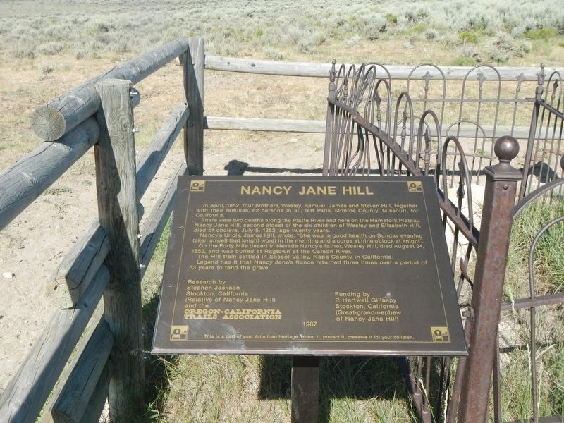
1. Nancy Jane Hill Marker
Their were two deaths along the Platte River and here on the Hamsfork Plateau Nancy Janne Hill, second eldest of the six children of Westley and Elizabeth Hill, died of cholera, July 5, 1852, age twenty years.
Nancy's Uncle, James Hill, wrote: "She was in good health on Sunday evening taken unwell that knight worst in the morning and a corps at nine o'clock at knight".
On the Forty Mile desert in Nevada Nancy's father, Wesley Hill, died August 24, 1852, and was buried at Ragtown in the Carson River.
The Hill train settled in Soscol Valley, Napa County in California.
Legend has it that Nancy Jane's fiancé returned three times over a period of 53 years to tend the grave.
Research by Stephen Jackson, Stockton, California (Relative of Nancy Jane Hill) and the Oregon-California Trails Association.
Erected 1987 by Oregon-California Trails Association.
Topics and series. This historical marker is listed in these topic lists: Cemeteries & Burial Sites
this page online
Location. 41° 56.21′ N, 110° 43.892′ W. Marker is near Kemmerer, Wyoming, in Lincoln County. It is on Farm Field Road one mile east of Dempsey Road, on the right when traveling east. Touch for map. Marker is in this post office area: Kemmerer WY 83101, United States of America. Touch for directions.

Regionally, this marker is in the Westward Expansion Trails Region and in Greater Yellowstone. It is also in the American Mountain West. Globally, it is in North America, the Rocky Mountains, the Western Hemisphere, the Western World, and the Anglosphere. Historically, it finds itself in what was once Mexico’s Alta California.
Other nearby markers. At least 8 other markers are within 14 miles of this marker, measured as the crow flies: Alfred Corum Grave (approx. 0.2 miles away); Emigrant Springs (approx. 2 miles away); The Landscape and the Quarries (approx. 7.2 miles away); Fossil Butte (approx. 9.9 miles away); Oregon Trail Memorial (approx. 14 miles away); Wyoming Centennial (approx. 14
Photographed by Barry Swackhamer, July 7, 2021
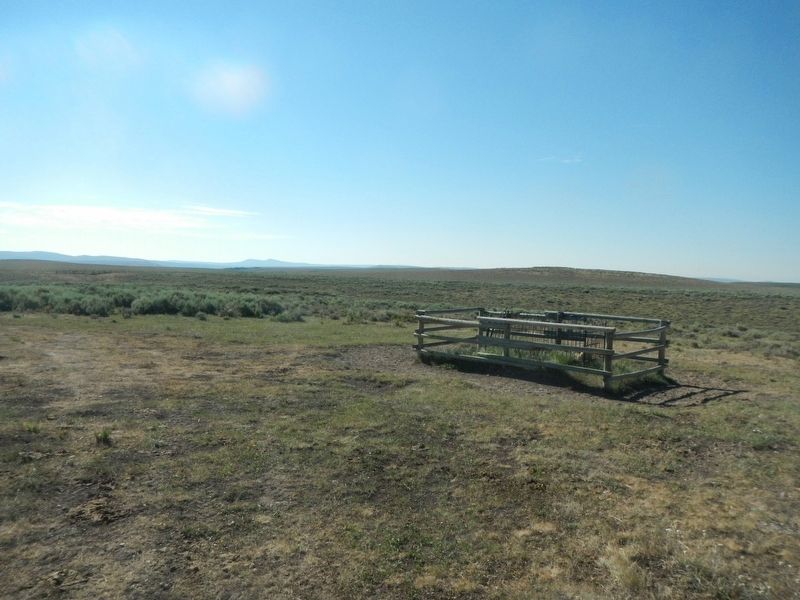
2. Nancy Jane Hill Grave and Marker
Photographed by Barry Swackhamer, July 7, 2021
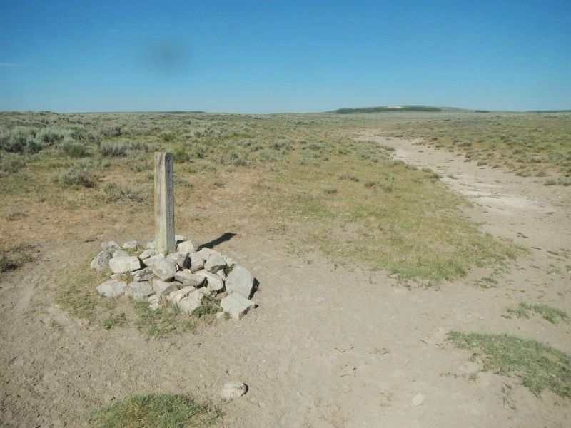
3. Oregon-California Trail Marker
Credits. This page was last revised on August 16, 2021. It was originally submitted on August 16, 2021, by Barry Swackhamer of Brentwood, California. This page has been viewed 662 times since then and 48 times this year. Photos: 1, 2, 3. submitted on August 16, 2021, by Barry Swackhamer of Brentwood, California.
