Fredericksburg, Virginia — The American South (Mid-Atlantic)
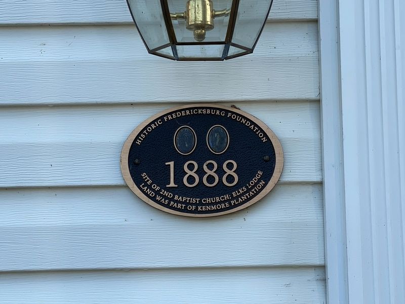
1888
Historic Fredericksburg Foundation
Photographed by J.T. Lambrou, August 12, 2021
1. 1888 Marker
Land Was Part of Kenmore Plantation
Topics. This historical marker is listed in these topic lists: Agriculture • Fraternal or Sororal Organizations • Religion & Religious Structures • Settlements & Settlers. A significant historical year for this entry is 1888.
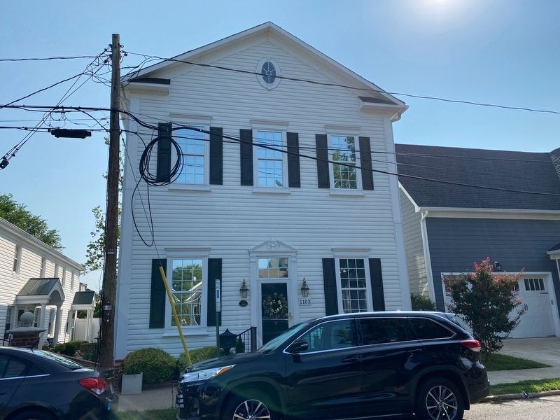
Location. 38° 18.199′ N, 77° 27.882′ W. Marker is in Fredericksburg, Virginia. It is on Winchester Street 0.1 miles north of Amelia Street, on the right when traveling north. Touch for map. Marker is at or near this postal address: 1103 Winchester Street, Fredericksburg VA 22401, United States of America. Touch for directions.

Regionally, this marker is in the Washington Metropolitan Area and in Northern Virginia. It is also in the American South and specifically in the Upper South. Globally, it is in North America, the Western Hemisphere, the Western World, and the Anglosphere. Historically, it finds itself in what was once the territory of the Mississippian Culture, one of the original Thirteen Colonies, one of the Confederate States of America, and the Antebellum South.
Other nearby markers. At
this page online
Photographed by J.T. Lambrou, August 12, 2021
2. 1888 Marker
Credits. This page was last revised on February 2, 2023. It was originally submitted on August 16, 2021, by J.T. Lambrou of New Boston, Michigan. This page has been viewed 230 times since then and 11 times this year. Photos: 1, 2. submitted on August 16, 2021, by J.T. Lambrou of New Boston, Michigan. • Bill Pfingsten was the editor who published this page.
