West Plains in Howell County, Missouri — The American Midwest (Upper Plains)
West Plains
[side 1]
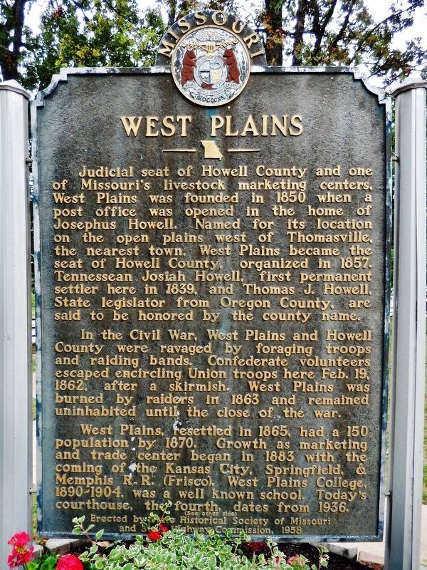
Judicial seat of Howell County and one of Missouri's livestock marketing centers, West Plains was formed in 1850 when a post office was opened in the home of Josephus Howell. Named for its location on the open plains west of Thomasville, the nearest town, West Plains became the seat of Howell County, organized in 1857. Tennessean Josiah Howell, first permanent settler here in 1839, and Thomas J. Howell, State legislator from Oregon County, are said to be honored by the county name.
In the Civil War, West Plains and Howell County were ravaged by foraging troops and raiding bands. Confederate volunteers escaped encircling Union troops here Feb. 19, 1862, after a skirmish. West Plains was burned by raiders in 1863 and remained uninhabited until the close of the war.
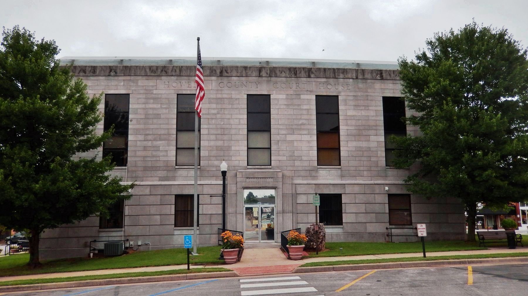
West Plains, resettled in 1865, had a 150 population by 1870. Growth as marketing and trade center began in 1883 with the coming of the Kansas City, Springfield, & Memphis R.R. (Frisco). West Plains College, 1890-1904, was a well known school. Today's courthouse, the fourth, dates from 1936.
[side 2]
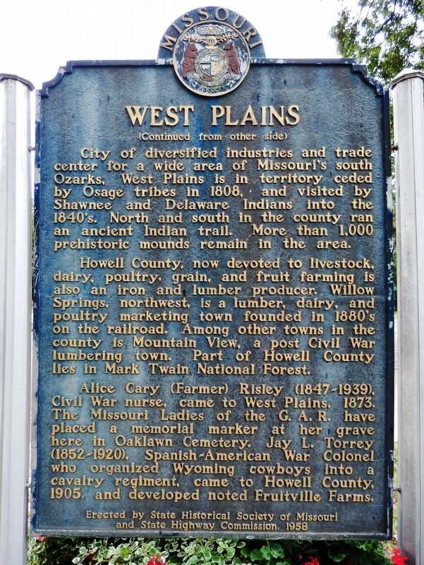
City of diversified industries and trade center for a wide area of Missouri's south Ozarks, West Plains is in territory ceded by Osage tribes in 1808, and visited by Shawnee and Delaware Indians into the 1840's. North and south in the county ran an ancient Indian trail. More than 1,000 prehistoric mounds remain in the area.
Howell County, now devoted to livestock, dairy, poultry, grain, and fruit farming is also an iron and lumber producer. Willow Springs, northwest, is a lumber, dairy, and poultry marketing town founded in 1880's on the railroad. Among other towns in the county is Mountain View, a post Civil War lumbering town. Part of Howell County lies in Mark Twain National Forest.
Alice Cary (Farmer) Risley (1847-1939), Civil War nurse, came to West Plains, 1873. The Missouri Ladies of the G.A.R. have placed a memorial marker at her grave here in Oaklawn Cemetery. Jay L. Torrey (1852-1920), Spanish-American War Colonel who organized Wyoming cowboys into a cavalry regiment, came to Howell County, 1905, and developed noted Fruitville Farms.
Erected 1958 by State Historical Society of Missouri; and State Highway Commission.
Topics and series. This historical marker is listed in these topic lists: Industry & Commerce • Native Americans • Settlements & Settlers • War, US Civil. In addition, it is included in the Missouri, The State Historical Society of series list. A significant historical year for this entry is 1850.
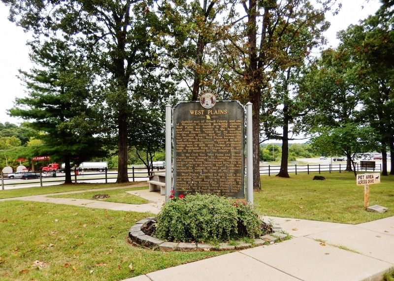
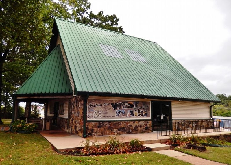
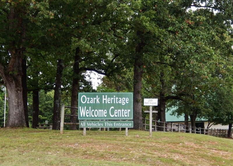
Location. 36° 45.962′ N, 91° 52.671′ W. Marker is in West Plains, Missouri, in Howell County. Marker can be reached from Porter Wagoner Boulevard (U.S. 63) 0.2 miles south of Sunset Terrace, on the right when traveling south. Marker is located beside the sidewalk, in front of the Ozark Heritage Welcome Center. Touch for map. Marker is at or near this postal address: 2999 Porter Wagoner Boulevard, West Plains MO 65775, United States of America. Touch for directions.
Other nearby markers. At least 5 other markers are within 3 miles of this marker, measured as the crow flies. Time Capsule (approx. 3 miles away); Civil War Skirmish - 1862 (approx. 3 miles away); In Memory of Six Confederate Soldiers (approx. 3 miles away); Early West Plains Spring (approx. 3 miles away); Mount Zion Lodge Masonic Temple (approx. 3 miles away).
Also see . . .
1. West Plains, Missouri (Wikipedia). The location of West Plains led to nearly constant conflict due to the proximity to what was then the border between the Union and Confederacy. West Plains was largely burned to the ground, and Howell County as a whole was devastated. No major battles occurred in West Plains or Howell County, but much of the devastation came from constant guerrilla warfare. (Submitted on August 19, 2021, by Cosmos Mariner of Cape Canaveral, Florida.)
2. Howell County, Missouri (Wikipedia). A small, wooden courthouse was built on the square in West Plains in 1859.
It was damaged during the Civil War in 1862. The county was reorganized three years later, but all of the county records were destroyed in an 1866 fire. A second courthouse was built in West Plains in 1869. It was a small, three-room, frame building, about 24 by 30 feet. (Submitted on August 19, 2021, by Cosmos Mariner of Cape Canaveral, Florida.)
Credits. This page was last revised on September 3, 2021. It was originally submitted on August 18, 2021, by Cosmos Mariner of Cape Canaveral, Florida. This page has been viewed 498 times since then and 79 times this year. Photos: 1, 2, 3. submitted on August 18, 2021, by Cosmos Mariner of Cape Canaveral, Florida. 4. submitted on August 19, 2021, by Cosmos Mariner of Cape Canaveral, Florida. 5, 6. submitted on August 18, 2021, by Cosmos Mariner of Cape Canaveral, Florida.
